Hanoi to Sa Pa: the night train, 294 km and the cold
Hanoi to Sa Pa starts with a train to Lao Cai. See the four trains in the railway timetable, the 294 km distance and how much colder Sa Pa is.
5 min readBy AsiaTripFacts Editors
Hanoi to Sa Pa starts with a train that stops at Lao Cai, not at Sa Pa. The railway's official timetable lists four trains between Hanoi and Lao Cai, 294 km apart. The two that run towards Lao Cai leave in the evening and arrive in the morning. The last stretch up to Sa Pa is a road journey that this timetable does not cover.
The four trains
We read the Vietnam Railways timetable for the Hanoi to Lao Cai line, using a sample date of 15 October 2026.
| Train | From | Departs | To | Arrives | Journey |
|---|---|---|---|---|---|
| SP7 | Hanoi | 22:40 | Lao Cai | 06:25 | 7 h 45 min |
| SP3 | Hanoi | 22:00 | Lao Cai | 05:55 | 7 h 55 min |
| SP8 | Lao Cai | 12:05 | Hanoi | 19:37 | 7 h 32 min |
| SP4 | Lao Cai | 21:30 | Hanoi | 05:35 | 8 h 05 min |
Going up, both trains are night trains. Coming back, SP8 is the daytime train and SP4 is the second night train. SP3 stops at more stations than SP7, including Viet Tri and Phu Tho, and takes ten minutes longer.
The page shows no effective date, and the railway changes times by season, so check the day you travel. It lists only these four trains. We did not look for other operators.
Where the train ends
The line runs 294 km from Hanoi to Lao Cai. It does not reach Sa Pa, which has no stop in the timetable.
We have no sourced road distance, bus time or fare for the stretch between Lao Cai and Sa Pa, so we give none. Ask your accommodation or the company you book with how the transfer works before you leave Hanoi.
The nearest airports with scheduled service, by the OurAirports data, are Dien Bien Phu (DIN) at 135 km from the Sa Pa map pin and Noi Bai (HAN) at 238 km. Those are straight-line figures, not road distances, and we did not check flights or roads from either. Our airports by destination article covers all fifteen map places and the limits of the data.
What changes at altitude
The Sa Pa weather station is 1,570 m above sea level, 2 km from the map pin. The Hanoi station is 5 m above sea level, 5 km from its pin. Both tables come from the same national regulation, QCVN 02:2022/BXD, which does not state the years behind its averages.
| Month | Hanoi mean °C | Sa Pa mean °C | Hanoi rain days | Sa Pa rain days | Hanoi fog days | Sa Pa fog days |
|---|---|---|---|---|---|---|
| Jan | 16.6 | 8.6 | 9.5 | 16.3 | 1.6 | 17.4 |
| Apr | 24.2 | 17.1 | 13.7 | 17.9 | 0.1 | 10.8 |
| Jul | 29.4 | 19.8 | 16.6 | 25.6 | 0 | 1.4 |
| Oct | 25.3 | 15.7 | 9.7 | 18.6 | 0.6 | 7.8 |
Sa Pa is cooler than Hanoi in every month of the table. It also has more rain days in all four months shown, with 25.6 in July. Fog is a winter feature there: 17.4 days in January against 1.4 in July. Pack for the Sa Pa column.
The UK government lists altitude sickness as a risk in parts of Vietnam. It does not say which parts, so we do not claim that Sa Pa is one of them. For the cold months in more detail, see Sa Pa in winter and where fog days matter.
The night train and your bags
The UK advice notes a risk of theft on buses and trains, particularly while you sleep on an overnight train. Plan to keep your passport, phone and cash on you rather than in a bag beside you.
From Lao Cai to Sa Pa
The same advice warns that offers of free bus transfers at airports and stations may be scams unless you arranged them in advance. It suggests pre-arranged transport or licensed taxi apps such as Grab or XanhSM, booked for the whole journey in the app. We did not check whether those apps cover this route.
The Sa Pa page has the full 12-month climate table and the Hanoi page has the same for Hanoi. Safety advice for the whole country is on the health and safety page.
Limits of this article
The timetable is for one sample date and shows no fares, so we give no prices. We did not check whether other operators run trains on the line. We have no sourced figures for the road stretch from Lao Cai to Sa Pa. The climate figures are averages from one station each, and they do not say what a given week will be like.
References
- Vietnam Railways, timetable for Hanoi to Lao Cai: https://giotaugiave.dsvn.vn/giotau/diaphuong.aspx?option=2&tuyen=5. Read for the sample date 15 October 2026. Checked 2026-10.
- QCVN 02:2022/BXD, climate data for construction: https://datafiles.chinhphu.vn/cpp/files/vbpq/2022/10/02-bxd.pdf. Checked 2026-09.
- UK FCDO travel advice for Vietnam, safety and security: https://www.gov.uk/foreign-travel-advice/vietnam/safety-and-security. Checked 2026-09.
- UK FCDO travel advice for Vietnam, health: https://www.gov.uk/foreign-travel-advice/vietnam/health. Checked 2026-09.
- OurAirports data, public domain with no guarantee of accuracy: https://ourairports.com/data/. Checked 2026-09.
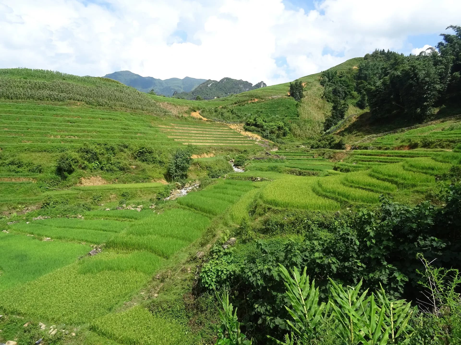
Photo: Rice terraces in Sa Pa 12.jpg, Christophe95, CC BY-SA 4.0, https://commons.wikimedia.org/wiki/File:Rice_terraces_in_Sa_Pa_12.jpg

Data checked: October 2026.
About the author
AE
Editorial team
The AsiaTripFacts editorial team. We publish visa rules, weather by month and safety advice for Western travelers in Vietnam, and every figure carries its source and the date we last verified it.
Keep reading
Sa Pa in winter: little rain, but a lot of fog and drizzle
Guides · 5 min

Closest airport to Hoi An: Da Nang, 23 km as the crow flies
Guides · 5 min

Vietnam airports by destination: the nearest with flights
Guides · 5 min

Where fog days matter in Vietnam: Sa Pa, Ha Giang, Ha Long
Guides · 5 min
International driving permit in Vietnam: who is covered
Guides · 5 min
Nha Trang weather by month: rain, heat and sun hours
Guides · 5 min
Vietnam e-visa for US citizens: the fee and the limits
Guides · 5 min
The driest month in Vietnam for each place we cover
Guides · 5 min
Disclaimer
This article is general information, not legal, immigration, medical or financial advice. Prices, visa rules and transport schedules change, and each figure shows the month we last verified it. Confirm anything that affects your trip (entry requirements, fees, health rules) with the official government or provider source before you book or travel. Affiliate links, where present, help support our editorial work and are explained in our affiliate disclosure.