Vietnam by interest
Pick what you like and see which of our 15 places fit. A place makes a list only through a sourced fact or a UNESCO listing, and you can read it under each heading.
History and culture
Nature and outdoors
By season
Fun facts, place by place
139 facts across 15 places, each with its source and check month. All fun facts about Vietnam
UNESCO World Heritage
6 of the 15 places on our map sit inside a UNESCO World Heritage Site.
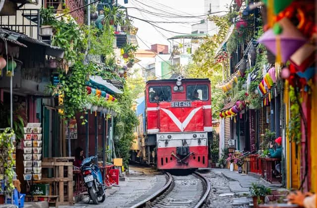 HanoiOld Quarter, lakes and street food
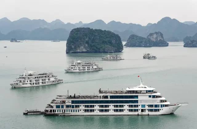 Ha Long BayLimestone karsts and overnight cruises
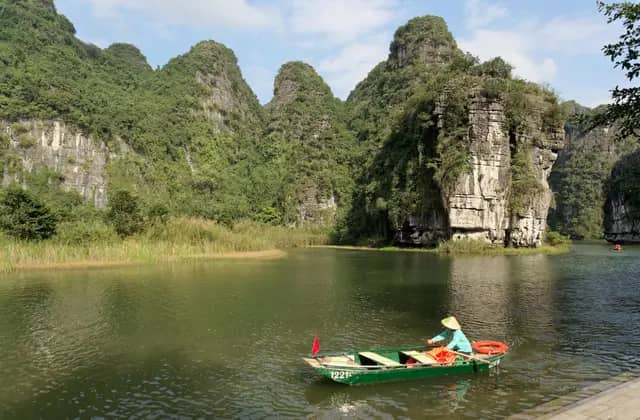 Ninh BinhRiver caves and karst scenery
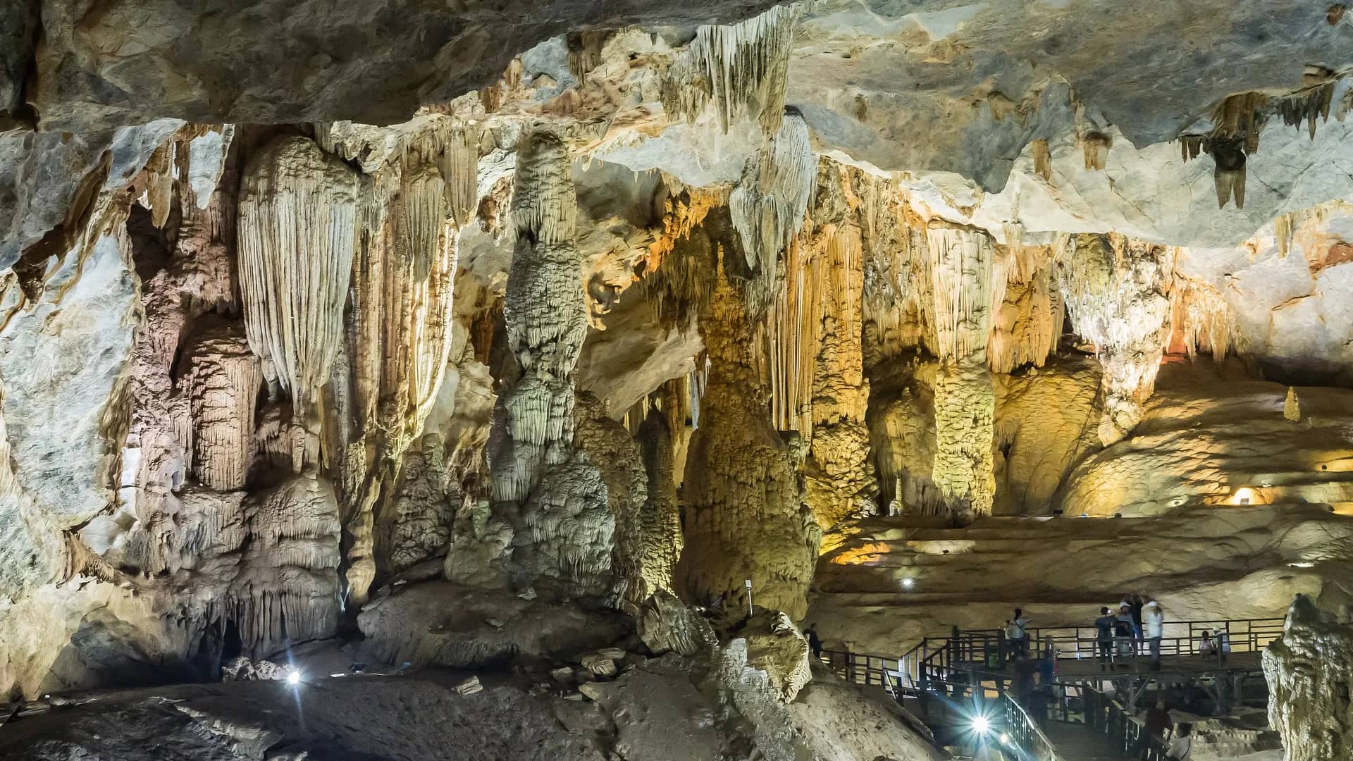
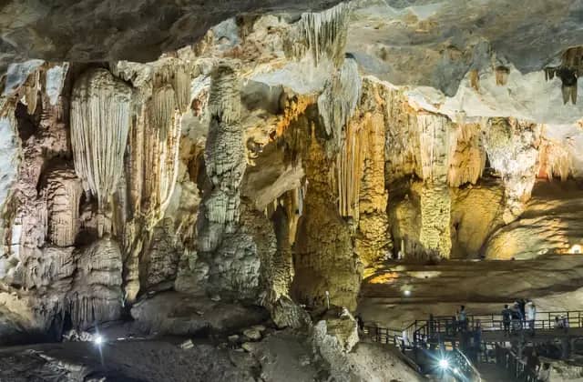 Phong NhaSome of the largest caves on Earth
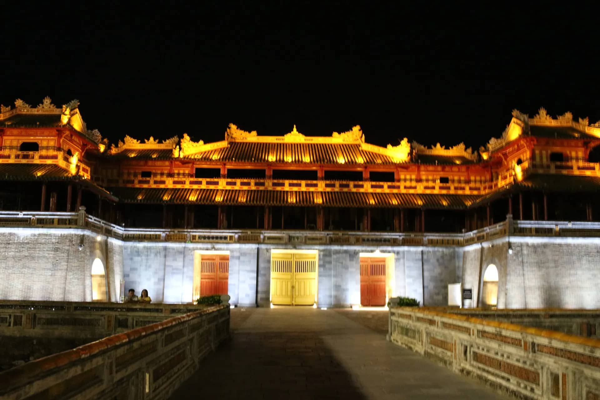
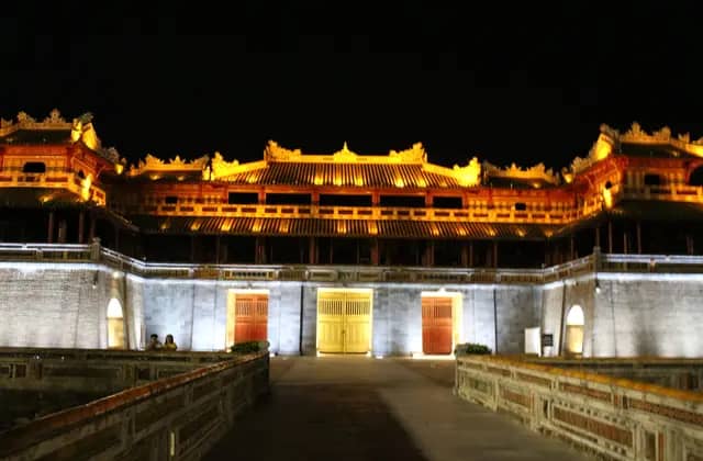 HueImperial citadel on the Perfume River
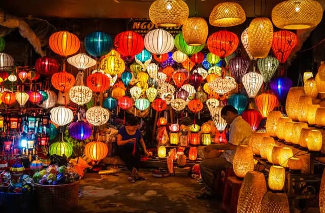 Hoi An & Da NangLantern-lit old town and beaches
- Central Sector of the Imperial Citadel of Thang Long - HanoiHanoi. Cultural. Inscribed 2010.
- Ha Long Bay - Cat Ba ArchipelagoHa Long Bay. Natural. Inscribed 1994, extended 2000 and 2023.
- Trang An Landscape ComplexNinh Binh. Mixed. Inscribed 2014.
- Phong Nha-Ke Bang National Park and Hin Nam No National ParkPhong Nha. Natural. Inscribed 2003, extended 2015 and 2025.
- Complex of Hué MonumentsHue. Cultural. Inscribed 1993.
- Hoi An Ancient TownHoi An & Da Nang. Cultural. Inscribed 1999.
History
Four former capitals, a French island prison, and the tank that broke through the palace gate in 1975.
- HanoiOld Quarter, lakes and street food
- Ninh BinhRiver caves and karst scenery
- HueImperial citadel on the Perfume River
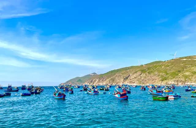 Quy NhonQuiet coast, far fewer crowds
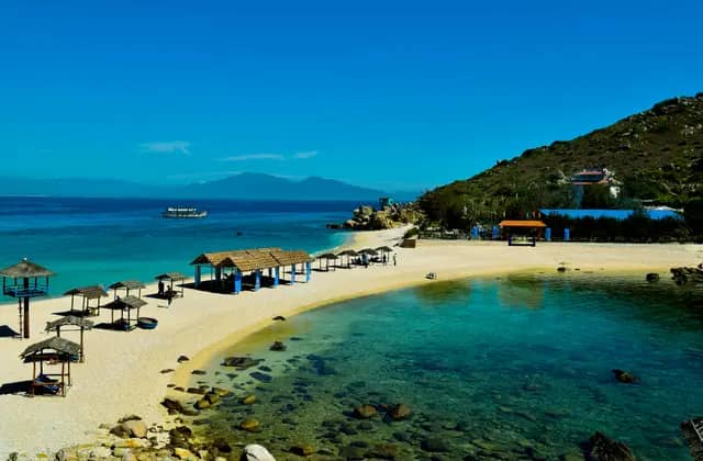 Nha TrangBeach resorts and island boat trips
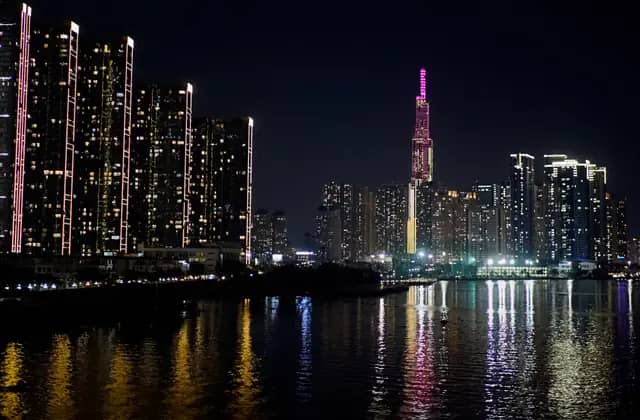 Ho Chi Minh CityFast, loud and endlessly hungry
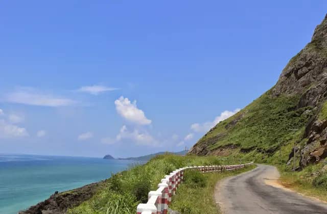 Con DaoRemote islands, turtles and clear water
Hanoi
In 1010 Ly Thai To, ruler of the Ly dynasty, moved the capital of Dai Viet to the site of the old Dai La Citadel. The city that grew there was called Thang Long.
Thang Long means ascending dragon. Ly Thai To is said to have chosen the name after claiming to have seen a dragon rise from the Red River. The city stayed the capital until 1397, when the court moved to Thanh Hoa, and Thang Long was then renamed Dong Do, the Eastern Capital.
Source: Wikipedia, Hanoi. Checked October 2026.
Ninh Binh
Hoa Lu was the capital of Vietnam from 968 to 1010. Ly Cong Uan, founder of the Ly dynasty, then moved the capital to Thang Long, now Hanoi.
Hoa Lu was the economic, political and cultural centre of Dai Co Viet, an independent Vietnamese polity founded by the local warlord Dinh Bo Linh after years of civil war and a secessionist movement against China's Southern Han dynasty. After the Le dynasty fell, Ly Cong Uan moved the capital away, and Hoa Lu became known as the ancient capital.
Source: Wikipedia, Hoa Lu Ancient Capital. Checked October 2026.
Hue
From 1802 to 1945 Hue was the capital of Vietnam under the Nguyen dynasty, the dynasty that built the citadel you can walk through today.
The Nguyen emperors ruled a country that stretched from the Red River Delta to the Mekong Delta, and Gia Long chose the old seat of the Nguyen lords as his capital. When the French arrived, Hue also served as the capital of the protectorate of Annam. Much of what you can visit today dates from this period.
Source: Wikipedia, Hue, UNESCO, Nha nhac, Vietnamese court music. Checked October 2026.
Quy Nhon
Vijaya, the Champa capital, stood in what is now An Nhon, in Binh Dinh province, the same province as Quy Nhon. It was the capital from 938 until Dai Viet conquered it in 1471.
Vijaya is Sanskrit for victorious, and the city was also known as Vijayapura. The area was probably an early landfall of the Cham people in what is now Vietnam, but its architecture implies it did not become important until the 11th or 12th century. The Vietnamese attacked its citadel in 1069.
Source: Wikipedia, Vijaya (Champa). Checked October 2026.
Nha Trang
Po Nagar is a Cham temple tower founded before 781. A stele dated 781 records King Satyavarman restoring the temple after it was damaged.
The stele implies the area had earlier come under temporary foreign dominion, and that foreign vandals had damaged the existing temple. Other steles say raiders, perhaps from Java, arrived in ships, stole the jewelry and broke the linga. The temple stands near Nha Trang, in the medieval principality of Kauthara, and is dedicated to the goddess of the country.
Source: Wikipedia, Po Nagar. Checked October 2026.
Con Dao
The French built Con Dao Prison in 1861 for people they saw as especially dangerous to the colonial government.
After the turn of the century the prison held an increasingly larger population of political prisoners. In 1954 it was turned over to the South Vietnamese government, which kept using it for the same purpose. The government of Vietnam now ranks it a special historical relic of national importance, and many high-ranking leaders were detained there.
Source: Wikipedia, Con Dao Prison. Checked October 2026.
Ho Chi Minh City
At 10:45 on 30 April 1975 a North Vietnamese army tank bulldozed through the main gate of Independence Palace.
The palace had been the presidential palace, home and workplace of the president of South Vietnam. On 8 April 1975 a pilot who was an undetected communist spy had already bombed it from a fighter jet, without significant damage. President Thieu fled the country on 21 April, and the tank's arrival effectively ended the Vietnam War.
Source: Wikipedia, Independence Palace. Checked October 2026.
Culture
Ethnic groups in the far north, royal court music in Hue, Cham towers, and a guesthouse known as the Crazy House.
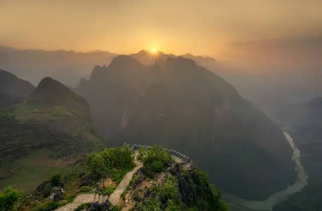 Ha Giang LoopMountain passes for motorbike travelers
- HueImperial citadel on the Perfume River
- Hoi An & Da NangLantern-lit old town and beaches
- Quy NhonQuiet coast, far fewer crowds
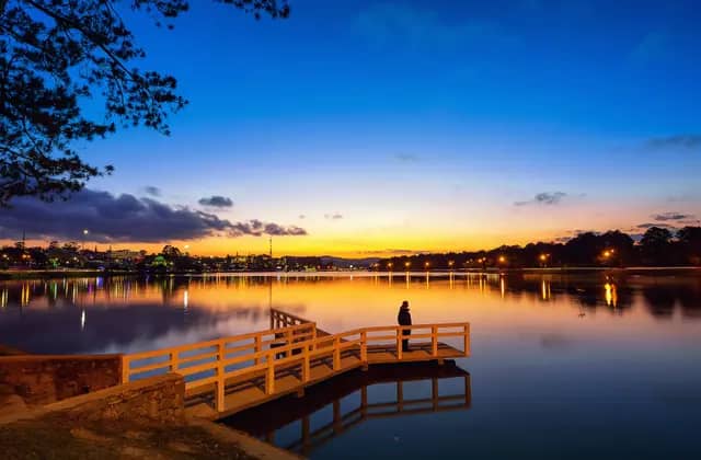 Da LatCool highlands, pine forest and cafes
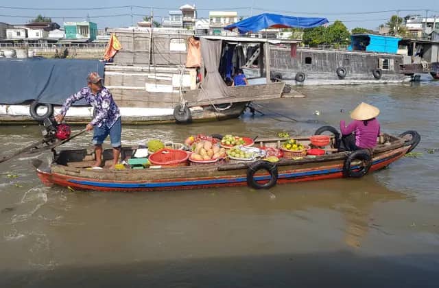 Mekong DeltaFloating markets and canal villages
Ha Giang Loop
17 ethnic minority groups live inside the geopark.
Among them are the Hmong, Dao, La Chi, Pu Peo, Lo Lo, Tay and Nung. The source calls their cultural heritage great, varied and valuable. The geopark is described as covering geology from the Cambrian to the present, so a visit combines landscape and living culture in the same place.
Source: Wikipedia, Dong Van Karst Plateau Geopark. Checked October 2026.
Hue
Nha nhac, meaning elegant music, was played at the Vietnamese royal court from the 15th to the mid-20th century. UNESCO put it on its Representative List in 2008.
Nha nhac was the music of court ceremonies, which ties it closely to Hue's years as the imperial capital. UNESCO's list covers intangible heritage, meaning the repertoire, the instruments and the way the music is performed. The court that played it is gone, but the tradition is recorded as living heritage.
Source: UNESCO, Nha nhac, Vietnamese court music. Checked October 2026.
Hoi An & Da Nang
Chinese immigrants built five assembly halls in Hoi An.
One of the five halls served as a central assembly hall. They follow traditional Chinese architectural styles, with harmony, balance and aesthetics given special weight. Chinese settlers were one of several groups of immigrants who arrived from the start of the 17th century, and the town's architecture owes much of its character to those newcomers.
Source: Wikipedia, Hoi An Old Town. Checked October 2026.
Quy Nhon
Several Cham towers survive in Binh Dinh province: Duong Long, Banh It, Canh Tien and Hung Thanh.
A relatively large number of towers built at Vijaya survive in Binh Dinh province, among them the ruins of the citadel, the Canh Tien tower and several temple towers. The mix of stone and brick in this architecture seems to have been dominant throughout Champa for some time.
Source: Wikipedia, Vijaya (Champa). Checked October 2026.
Da Lat
The Hang Nga Guesthouse, known as the Crazy House, opened in 1990. It was designed by the Vietnamese architect Dang Viet Nga.
The overall design resembles a giant banyan tree, with sculpted elements representing animals, mushrooms, spider webs and caves. Its complex, organic shapes have been described as expressionist. Dang Viet Nga, who holds a PhD in architecture from Moscow State University, has acknowledged the inspiration of the Catalan architect Antoni Gaudi in the design.
Source: Wikipedia, Da Lat. Checked October 2026.
Mekong Delta
The Vietnamese name for the delta, Dong bang Song Cuu Long, means Nine Dragons River Delta.
Cuu Long means Nine Dragons, and Song Cuu Long is one of the Vietnamese names for the Mekong itself, next to Song Me Kong. Classical Vietnamese texts called the river Song Khung or Khung Giang. The delta has been occupied since as early as the 4th century BC, so its names come from many peoples.
Source: Wikipedia, Mekong Delta, Wikipedia, Mekong. Checked October 2026.
Local legends
Stories people tell about these places, marked as legends on every card.
Ha Long Bay
Local legend, not a verified fact
Local legend says dragons sent by the gods spat jewels that became the bay's islands. The mother dragon came down at Ha Long, which means descending dragon.
In the legend, the gods sent a family of dragons to help the Vietnamese defend their land. The jewels and jade the dragons spat became islands that linked into a wall, and invaders' ships struck the rocks. Wikipedia says this version was reinforced by nationalism in the 1800s, so read it as a story, not as history.
Source: Wikipedia, Ha Long Bay. Checked October 2026.
Hoi An & Da Nang
Local legend, not a verified fact
According to legend, Japanese residents built a temple on top of the covered bridge in 1653 to calm Namazu, the earthquake monster of Japanese folklore.
Namazu is the monster that Japanese folklore blames for earthquakes. According to the legend, the temple was built to calm it, and the monkey and dog statues on the bridge refer to the two gods who control it. Japanese merchants later withdrew from Hoi An in the 17th century, yet the bridge and its neighbourhood stayed relatively preserved.
Source: Wikipedia, Japanese Covered Bridge. Checked October 2026.
Caves and karst
About 300 caves in Phong Nha-Ke Bang alone, Son Doong among them, plus four named caves in Ha Long Bay and the karst of Trang An.
- Ha Long BayLimestone karsts and overnight cruises
- Ninh BinhRiver caves and karst scenery
- Phong NhaSome of the largest caves on Earth
Phong Nha
Son Doong Cave is more than 5 km (3.1 miles) long, about 200 m (660 ft) high and 150 m (490 ft) wide.
These dimensions are for the main passage. The whole cave runs for about 9 km and is punctuated by two large dolines, where the ceiling has collapsed. They let sunlight in, so trees and other vegetation grow inside. The 2009 expedition was stopped at one point by a 60 m flowstone wall that it named the Great Wall of Vietnam.
Source: Wikipedia, Hang Son Doong. Checked October 2026.
Phong Nha
Some stalagmites inside Son Doong grow up to 80 m (260 ft) tall, and two collapsed ceilings let jungle grow inside the cave.
Behind the Great Wall of Vietnam the explorers found cave pearls the size of baseballs, an abnormally large size. The source describes the interior as so large that an entire New York block, skyscrapers included, could fit inside, or that a Boeing 747 could fly through without its wings touching either side.
Source: Wikipedia, Hang Son Doong. Checked October 2026.
Phong Nha
The park holds about 300 caves and grottoes. A 2009 survey put the total discovered length of the cave system at about 126 km (78 miles).
The figure covers just what has been discovered: the source says many areas are still not well explored, so the real total may be higher. The 2009 survey was carried out by British and Vietnamese explorers, and it is the same one that found Son Doong Cave.
Source: Wikipedia, Phong Nha-Ke Bang National Park. Checked October 2026.
Ha Long Bay
Four caves named by the bay's management board are Thien Cung, Dau Go, Sung Sot and Trinh Nu.
The board describes the cave systems hidden inside the islands as a major part of the bay's beauty, and many are tied to folklore, Trinh Nu Cave among them. Thien Cung, Dau Go and Sung Sot are named alongside countless others. A geologist, Tony Waltham, studied 32 caves among other sites during a 1998 visit.
Source: Ha Long Bay Management Board. Checked October 2026.
Ninh Binh
The Trang An Scenic Landscape Complex covers 6,226 hectares, with a buffer zone of another 6,026 hectares.
UNESCO inscribed the complex on 23 June 2014, at the 38th session of the World Heritage Committee in Doha. The source describes it as three zones: the centre of the Hoa Lu ancient capital in the north, the Tam Coc and Bich Dong tourist area in the south, and the Trang An eco-tourism area in the middle.
Source: Wikipedia, Trang An Scenic Landscape Complex. Checked October 2026.
Islands and beaches
Ha Long Bay's 1,969 islands, Phu Quoc in the Gulf of Thailand, the 16 islands of Con Dao and 42 km of coast at Quy Nhon.
- Ha Long BayLimestone karsts and overnight cruises
- Quy NhonQuiet coast, far fewer crowds
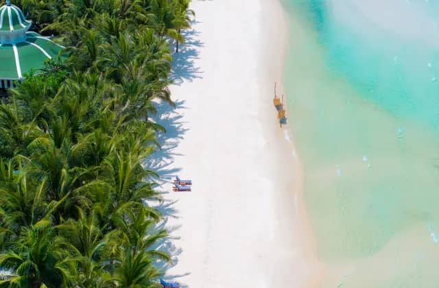 Phu QuocIsland beaches in the Gulf of Thailand
- Con DaoRemote islands, turtles and clear water
Ha Long Bay
Ha Long Bay covers 1,553 square km and holds 1,969 islands of many sizes.
The 1,553 square km figure covers the whole bay, and the islets are mostly made of limestone. The count of named islands differs between sources, so there is no single fixed number. Many names come from shapes: Voi Islet means elephant, Ga Choi means fighting cock, Khi means monkey and Mai Nha means roof.
Source: Ha Long Bay Management Board, Wikipedia, Ha Long Bay. Checked October 2026.
Phu Quoc
Phu Quoc covers 575 square km (222 square miles). It runs 50 km (31 miles) from north to south and is 25 km (16 miles) across at its widest.
The island is roughly triangular, so the 50 km and 25 km figures are its length and its width at the broadest point. Phu Quoc is a special zone in An Giang province, and the zone takes in the island proper plus a number of smaller islets.
Source: Wikipedia, Phu Quoc. Checked October 2026.
Con Dao
Con Dao is a group of 16 mountainous islands and islets with a total area of 75.15 square km (29.02 square miles).
The group lies about 185 km from Vung Tau and 230 km from Ho Chi Minh City. The main island is Con Son, also called Con Lon, and it holds both the airport and the prison. Administratively the islands belong to Ho Chi Minh City, even though they sit well out at sea.
Source: Wikipedia, Con Dao. Checked October 2026.
Con Dao
Protected species around Con Dao include the hawksbill sea turtle, the green sea turtle, dolphins and the dugong.
These are listed as endangered species protected within the park. The ecosystems in the park include seagrass meadow, mangrove and coral reefs, which are the marine habitats it protects. On land, the Con Son long-tailed macaque is a monkey endemic to the islands, and its presence is probably the origin of the Isles of the Satyrs name.
Source: Wikipedia, Con Dao. Checked October 2026.
Quy Nhon
Quy Nhon has a coastline 42 km (26 miles) long.
The topography is extremely varied, with mountains and forests, hills, fields, salt marshes, plains, lagoons, lakes, rivers, shorelines, peninsulas and islands. The coast has sandy beaches and abundant seafood resources. Quy Nhon is now a ward in Gia Lai province, with an area of 21.78 square km and a population of 129,326 in 2025.
Source: Wikipedia, Quy Nhon. Checked October 2026.
Mountains and highlands
Fansipan at 3,147 m, the road over Ma Pi Leng Pass in Ha Giang, and Da Lat at 1,500 m above sea level.
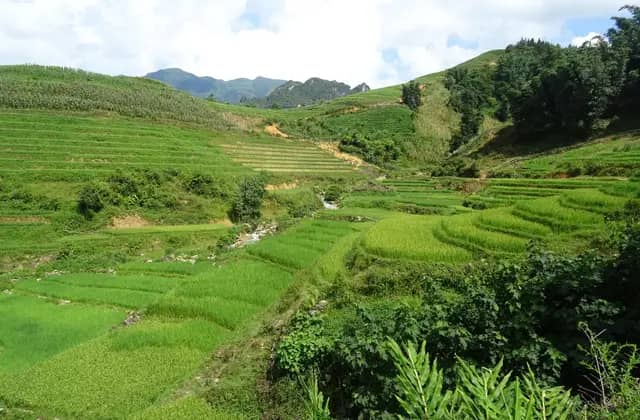 Sa PaTerraced rice valleys in the far north
- Ha Giang LoopMountain passes for motorbike travelers
- Da LatCool highlands, pine forest and cafes
Sa Pa
Fansipan stands 3,147.3 m (10,326 ft) high. It was originally measured at 3,143 m in 1909.
The later figure replaced the 1909 measurement, a difference of about 4 m. The peak lies on the Lao Cai side of the border between Lao Cai and Lai Chau provinces, within Hoang Lien National Park. It has a topographic prominence of 1,617 m, which ranks sixth in Vietnam.
Source: Wikipedia, Fansipan. Checked October 2026.
Ha Giang Loop
The road over Ma Pi Leng Pass was built from 1959 to 1965 to connect Ha Giang city with the plateau. The pass crest stands at about 1,500 m (4,900 ft).
The road is part of the Happiness Road, a name Ho Chi Minh used for the route in 1961. The route is about 184 to 185 km long, running from Ha Giang city through Quan Ba and Yen Minh to Dong Van and Meo Vac. Before it, travel across the plateau relied largely on footpaths and packhorse tracks.
Source: Wikipedia, Ma Pi Leng Pass. Checked October 2026.
Ha Giang Loop
The Dong Van Karst Plateau Geopark covers 2,356.8 square km (910 square miles), at an average height of 1,400 to 1,600 m (4,600 to 5,200 ft) above sea level.
The geopark takes up much of the area of four of Ha Giang's districts: Meo Vac, Dong Van, Yen Minh and Quan Ba. It borders China to the north. About 80% of the area is covered by limestone, which explains the rock landscape you see across the plateau.
Source: Wikipedia, Dong Van Karst Plateau Geopark. Checked October 2026.
Da Lat
Da Lat sits 1,500 m (4,900 ft) above sea level on the Langbiang Plateau.
The cool height explains the nickname City of Eternal Spring: the average temperature is 14 to 23 °C, and mist covers the adjoining valleys almost year round. The plateau lies in the southern part of the Central Highlands. Da Lat ceased to be a municipal city on 1 July 2025, when district-level units were eliminated.
Source: Wikipedia, Da Lat. Checked October 2026.
Wildlife and parks
National parks and species counts, including 347 bird species around Fansipan, more than 2,900 species around Ha Long Bay and the giant Mekong catfish.
- Ha Long BayLimestone karsts and overnight cruises
- Sa PaTerraced rice valleys in the far north
- Ninh BinhRiver caves and karst scenery
- Mekong DeltaFloating markets and canal villages
- Phu QuocIsland beaches in the Gulf of Thailand
- Con DaoRemote islands, turtles and clear water
Ha Long Bay
More than 2,900 species of plants and animals live on land and in the sea around the bay, across 10 different ecosystems.
The management board counts nearly 3,000 species of plants and animals, spread across 10 ecosystems from marine to forested areas. They include island vegetation, caves, mangroves and regularly flooded coastal wetlands. The board's own pages give slightly different totals, more than 2,900 in one place and nearly 3,000 in another, so read the figure as a round one.
Source: Ha Long Bay Management Board. Checked October 2026.
Sa Pa
347 bird species have been recorded in and around the Hoang Lien nature reserve, 49 of them restricted in Vietnam to the northwest Tonkin region.
Fansipan is also the type locality for the snake Protobothrops cornutus, and about one-third of the amphibian species present in Vietnam can be found in the park. A total of 38 species of frogs and toads were observed in Hoang Lien National Park in 1997 and 1998, so the park is rich beyond its birds.
Source: Wikipedia, Hoang Lien National Park. Checked October 2026.
Ninh Binh
More than 600 plant species and 200 animal species have been recorded at Trang An, including more than 310 types of rare plants.
The natural vegetation is limestone forest and evergreen forest in the valleys between limestone areas, and many of the species are on Vietnam's red list. Rare animals include the mainland serow, the leopard and the phoenix pheasant, and the rare plants include cycas, orchids and juniper. Striped neck turtles in the waterways need protection.
Source: Wikipedia, Trang An Scenic Landscape Complex. Checked October 2026.
Mekong Delta
The giant Mekong catfish can grow to about 3 m (10 ft) long and weigh 300 kg (660 lb).
The Mekong giant catfish is endemic to the river. The source records a 293 kg specimen caught in the Mekong in 2005. All of these very large fish have declined drastically because of dams, flood control and overfishing, and the sizes given are upper limits for the species.
Source: Wikipedia, Mekong. Checked October 2026.
Phu Quoc
Phu Quoc National Park was established in 2001 and covers 336.57 square km (129.95 square miles).
The park was an upgrade of a former conservation zone, and it covers the northern part of the island. Early accounts also describe a great forest here: in the 1820s the envoy John Crawfurd was told that it held deer, hogs, wild buffaloes and oxen, but no leopards or tigers.
Source: Wikipedia, Phu Quoc. Checked October 2026.
Con Dao
Many of the islands received protected status in 1984 as Con Dao National Park, and the park was enlarged in 1998.
The park is working with WWF Vietnam on programmes to set up a marine protected area covering coral reefs, seagrass beds and species. It also aims to develop sustainable nature-based ecotourism. Its management is described as strongly geared toward sustainable use, hoping to learn from earlier experience in Vietnam and the region to balance development with conservation.
Source: Wikipedia, Con Dao. Checked October 2026.
Dry season
Which month is driest, and where. Month by month for every place: Vietnam weather by month.
Rainy season
When each region gets its rain. Month by month for every place: Vietnam weather by month.
Typhoon season
Storm counts by month and how warnings work. Month by month for every place: Vietnam weather by month.
Cool season
Cold, fog and winter in the north. Month by month for every place: Vietnam weather by month.
Sources
- UNESCO World Heritage Centre, Viet Nam. World Heritage listings and inscription years. Checked September 2026.
Photo credits
- Hanoi: Takeshi Aida from Hong Kong, Hong Kong, CC BY-SA 2.0
- Ha Long Bay: Jakub Hałun, CC BY 4.0
- Sa Pa: Christophe95, CC BY-SA 4.0
- Ha Giang Loop: Hoach Le Dinh, CC0
- Ninh Binh: Jakub Hałun, CC BY 4.0
- Phong Nha: Edgardo W. Olivera from Montevideo, Uruguay, CC BY 2.0
- Hue: Suicasmo, CC BY-SA 4.0
- Hoi An & Da Nang: katiebordner, CC BY 2.0
- Quy Nhon: Pulencio from Tarlac, Philippines, CC BY 2.0
- Nha Trang: Minh Duc Ly, Public domain
- Da Lat: Lê Minh Phát from 6, Việt Nam, CC BY 2.0
- Ho Chi Minh City: lumoplank, CC0
- Mekong Delta: Andre Hospers, CC BY 4.0
- Phu Quoc: Vivu Vietnam, CC BY-SA 4.0
- Con Dao: Lam Tr Th, CC BY-SA 3.0