AsiaTripFacts · Guides
Da Lat in the dry season: December to March in numbers
Da Lat in the dry season is clearest in the station totals from December to March. Compare rain, sun and temperature with the full monthly table.
5 min readBy AsiaTripFacts Editors

Da Lat in the dry season has the lowest rainfall totals in the station record from December through March, with January the driest month. We use station tables from Vietnam's construction regulation, where averages describe a typical month, not a forecast.
December to March in the table
The four months do not have identical conditions. December records 36.2 mm of rain and 5.9 rain days. January falls to 9.1 mm and 2.2 rain days, the lowest rainfall total and fewest rain days in the Da Lat table. February records 20.5 mm and 2.5 rain days. March rises to 64.1 mm and 5.8 rain days.
Those values support calling December through March the drier part of the record, while January is the clearest low-rain point in the table. We would still describe the months separately when planning. A dry-season label should not hide the change between January's 9.1 mm and March's 64.1 mm.
The mean temperatures are moderate compared with the warmer lowland records on this site. January is the coolest month at 15.9°C, with a maximum of 22.3°C and a minimum of 11.7°C. March has a mean of 18.1°C. In Fahrenheit, 15.9°C is about 61°F.
Sun hours and the wettest month
March is the sunniest month, with 240.2 sun hours. January follows with 237.4, February with 231.1, and December with 198.7. These are monthly totals, so they don't say whether a particular morning will be bright.
The wettest month is September at 283.4 mm, with 24.1 rain days and 126.5 sun hours. By comparison, January has 9.1 mm, 2.2 rain days, and 237.4 sun hours. This contrast is why we keep rainfall, rain days, and sun hours together instead of using one number as a season label.
Our Da Lat destination page provides the place context, while the comparison of the driest month in Vietnam shows how January sits beside other places. For regional planning, the Vietnam when-to-go guide is a useful next page.
All twelve months side by side
Drizzle days and fog days are not available for Da Lat, so the table leaves them out.
| Month | Mean C | Rain mm | Rain days | Sun hours |
|---|---|---|---|---|
| Jan | 15.9 | 9.1 | 2.2 | 237.4 |
| Feb | 16.9 | 20.5 | 2.5 | 231.1 |
| Mar | 18.1 | 64.1 | 5.8 | 240.2 |
| Apr | 19 | 170.3 | 12.8 | 199.2 |
| May | 19.5 | 212.3 | 20.5 | 195.5 |
| Jun | 19.2 | 203.5 | 21.2 | 150.3 |
| Jul | 18.8 | 232.7 | 23.8 | 146.9 |
| Aug | 18.6 | 238.3 | 23.1 | 134.4 |
| Sep | 18.5 | 283.4 | 24.1 | 126.5 |
| Oct | 18.2 | 244.7 | 20 | 139.8 |
| Nov | 17.5 | 93.5 | 11.5 | 168.5 |
| Dec | 16.4 | 36.2 | 5.9 | 198.7 |
The table shows a gradual move from the low-rain months into a wetter period. Rain days reach 20.5 in May, 21.2 in June, 23.8 in July, 23.1 in August, and 24.1 in September. The sun-hour total is lowest in August at 134.4 and highest in March at 240.2.
What to take from the record
If your priority is the lowest rainfall number, January is the station's clearest answer at 9.1 mm. If you want the strongest sun-hour total in the table, March leads at 240.2 hours. If you want the coolest mean, January leads again at 15.9°C. These are separate measures, so the same month does not need to lead every category.
December starts the drier run, January and February have the lowest rain totals, and March is a transition month. These are averages, not a fixed pattern for the dates of your trip.
What this does not tell you
The station is at 1,513 m above sea level and 2 km from the Da Lat map pin, in the town. The record is therefore a station reference for the mapped destination, not a measurement from every hillside or nearby road.
There is no fog or drizzle data for Da Lat, and we don't estimate it from rainfall. The regulation does not state the observation period of these tables, so we don't name one.
References
- QCVN 02:2022/BXD, National technical regulation on natural physical and climatic data for construction: https://datafiles.chinhphu.vn/cpp/files/vbpq/2022/10/02-bxd.pdf. Checked 2026-09.
Photo: Xuan Huong Lake (46420763535).jpg, Lê Minh Phát from 6, Việt Nam, CC BY 2.0, https://commons.wikimedia.org/wiki/File:Xuan_Huong_Lake_(46420763535).jpg
.jpg)
Data checked: September 2026.
About the author
AE
Editorial team
The AsiaTripFacts editorial team. We publish visa rules, weather by month and safety advice for Western travelers in Vietnam, and every figure carries its source and the date we last verified it.
Keep reading

Central Vietnam in October: Hue, Da Nang and Phong Nha
Guides · 5 min
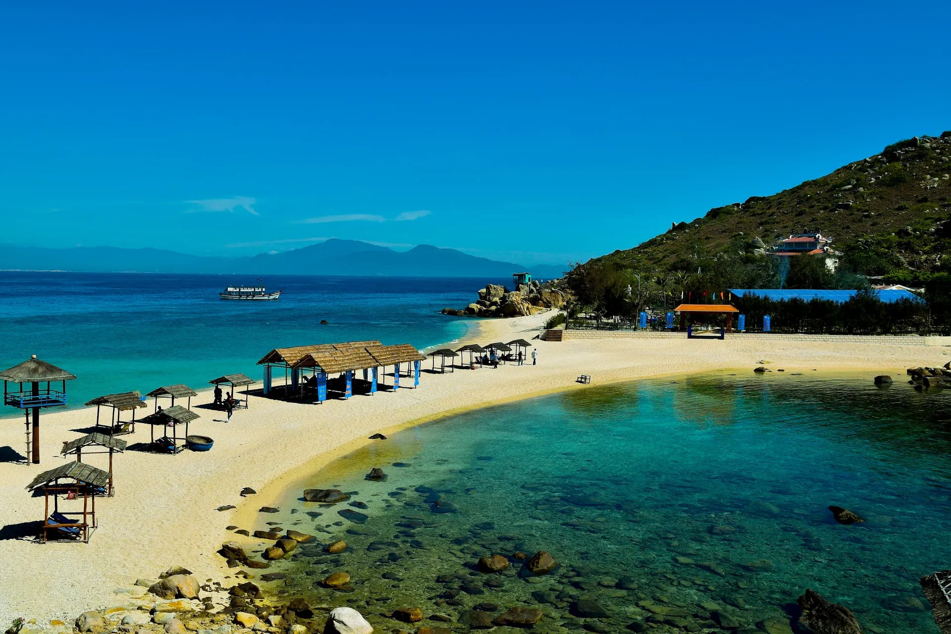
The driest month in Vietnam for each place we cover
Guides · 5 min

Where fog days matter in Vietnam: Sa Pa, Ha Giang, Ha Long
Guides · 5 min

Hue or Da Nang: how the weather and airports compare
Guides · 5 min

Rain days vs millimeters: why the rainfall number misleads
Guides · 5 min
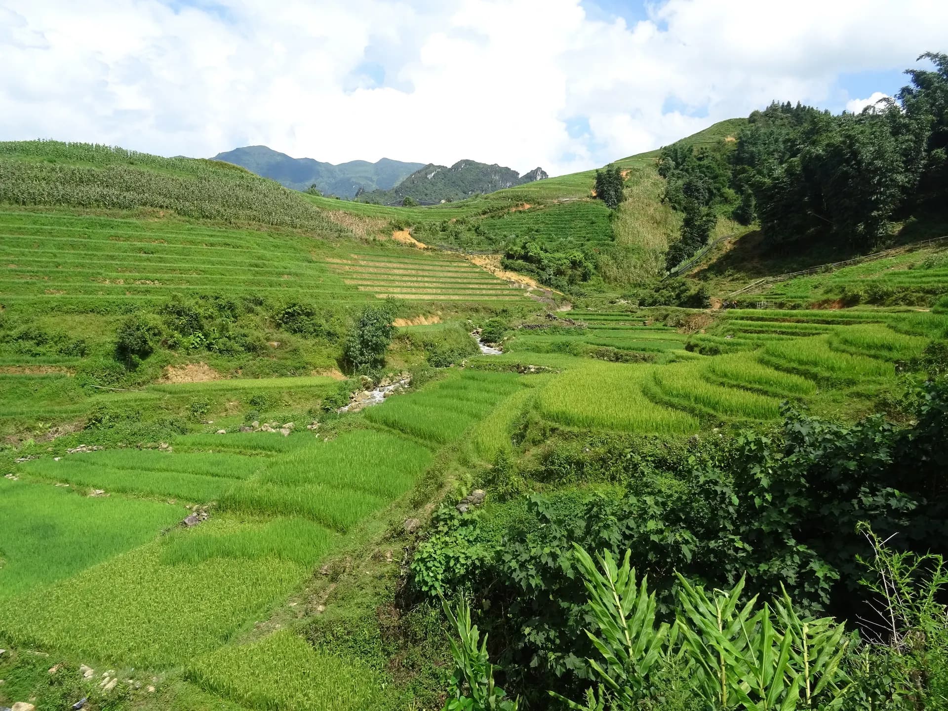
Sa Pa in winter: little rain, but a lot of fog and drizzle
Guides · 5 min

Vietnam airports by destination: the nearest with flights
Guides · 5 min

Vietnam e-visa for US citizens: the fee and the limits
Guides · 5 min
Disclaimer
This article is general information, not legal, immigration, medical or financial advice. Prices, visa rules and transport schedules change, and each figure shows the month we last verified it. Confirm anything that affects your trip (entry requirements, fees, health rules) with the official government or provider source before you book or travel. Affiliate links, where present, help support our editorial work and are explained in our affiliate disclosure.