
Ha Giang Loop
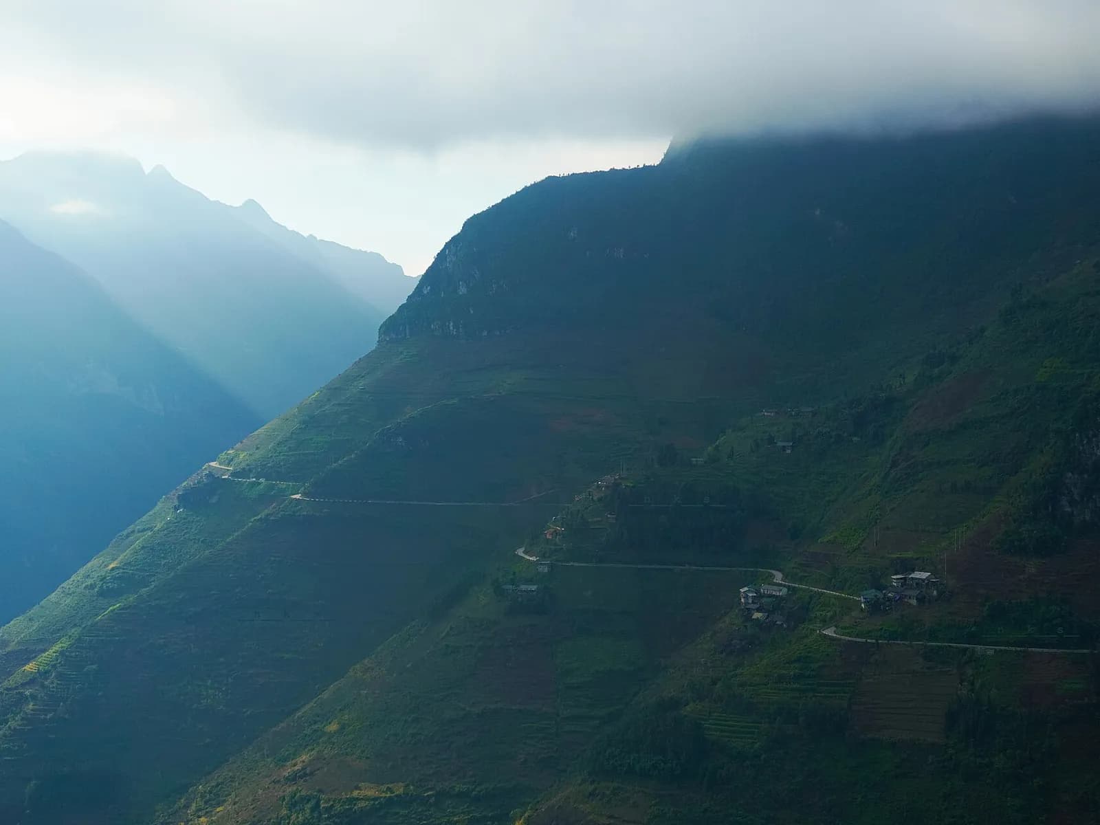
The mountain loop around the Đồng Văn Karst Plateau: high passes, a river gorge and village homestays, a night bus north of Hanoi.
Reviewed
Image: Ama Journey / Unsplash
VerdictRide the loop between September and November, sort the border permit first, and ride pillion with an easy rider unless your licence is valid in Vietnam.
Ha Giang loop weather is at its best from September to November, when the summer rain falls away fast: the Hà Giang city weather station averages 545 mm in July, the wettest month, over about 24 rainy days, and 84 mm in November over about ten. The city's monthly mean is about 24°C in October and 20°C in November, then about 16 to 17°C in December and January. That station sits 118 m up in the city where the loop starts, not on the passes. So go to Hà Giang for the loop, the mountain road around the Đồng Văn Karst Plateau, between September and November. Vietnam's national tourism site says the terraced rice turns golden in September, buckwheat flowers bloom from October to November, and the roads are wet and slippery from May to August. Hà Giang has been part of Tuyên Quang province since 2025, so official notices now carry the Tuyên Quang name. Two things to sort out before you leave are the border-area permit and how you'll ride, both covered below.
Benjamin Engelbach, a Hanoi-based writer who has ridden the loop twice, laid it out day by day for Lonely Planet in April 2026. Most tour operators bring you up from Hanoi on a night bus that pulls in at about 3 a.m., he writes, which leaves a few hours of sleep before the first morning. That morning climbs the switchbacks of the Bắc Sum Pass and then Quản Bạ's Heaven Gate, where he plans a coffee break and a selfie session at the lookout café. Dinner is usually at your village homestay. On the second evening he says to reach Đồng Văn before sunset, to stroll the cobblestones of the old town, and to take the short, steep path up to a crumbling French fort for the view. The Mã Pí Lèng Pass the next afternoon is "a jaw-dropping 20km ride" that threads between limestone towers. The last night, in Du Già, is rowdy on group tours, with plenty of rice wine, and the waterfall there can fill up with tour groups carrying boom boxes.
Updated 1 November 2026: added answers on the border permit, riding on a US licence, doing the loop by car, safety on the back of a bike, age, and the bus back to Hanoi, under Questions travelers ask.


- Region
- North Vietnam
- Province
- Tuyen Quang
- Nearest airport
- Noi Bai International Airport (HAN)197 km (122 mi)122 mi (197 km) in a straight line. All three nearest
- Weather station
- Hà Giang118 m (387 ft) above sea level
Ha Giang Loop in pictures

Image: Don Lam / Unsplash 
Image: Tyler Zhang / Unsplash 
Image: Tyler Zhang / Unsplash 
Image: Tyler Zhang / Unsplash 
Image: Tyler Zhang / Unsplash 
Image: Tyler Zhang / Unsplash 
Image: Tyler Zhang / Unsplash 
Image: Adrià Sánchez Roqué / Unsplash 
Image: Tyler Zhang / Unsplash
Ha Giang Loop itinerary
- Day 1Ha Giang city to Yen Minh, about 100 km8 stops, 07:30 to 18:00
- Day 2Yen Minh to Dong Van via Lung Cu, about 100 km6 stops, 09:00 to 18:30
- Day 3Dong Van to Du Gia via Ma Pi Leng, about 100 km6 stops, 07:30 to 18:30
- Day 4Du Gia back to Ha Giang city, about 85 km4 stops, 07:30 to 15:00
The full plan, stop by stop, with times, fees and a map for each day
Ha Giang Loop by interest
Lists for all of Vietnam that include Ha Giang Loop:
 Local legends in Vietnam
Image: Vivu Vietnam / Unsplash
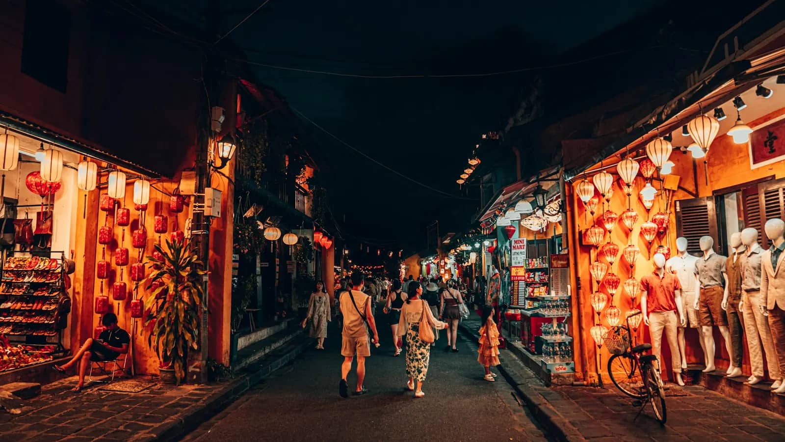 Culture in Vietnam
Image: Christian / Unsplash
 Crafts and villages in Vietnam
Image: Christian / Unsplash
 Festivals in Vietnam
Image: Vincent Yap / Unsplash
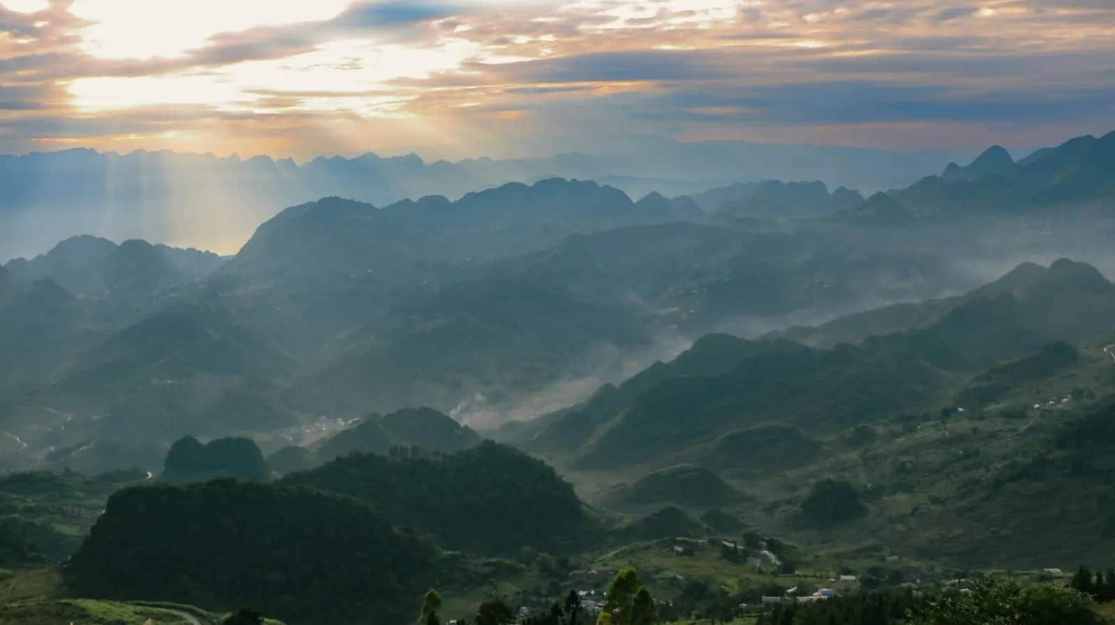 Mountains and highlands in Vietnam
Image: Don Lam / Unsplash
 Food and drink in Vietnam
Image: Yu Ko / Unsplash
 Markets and shopping in Vietnam
Image: Mon / Unsplash
Best time to visit Ha Giang
September to November, for the gold rice and the buckwheat flowers in the opening, and because the rain falls away fast after the summer peak; the station figures are in the opening.
Climate in Ha Giang Loop
Monthly averages from the Hà Giang weather station, 118 m (387 ft) above sea level, 1 km (1 mi)1 mi (1 km) from Ha Giang Loop. Averages describe a typical month, not a forecast.
- Least rain
- Dec to Feb (39 to 42 mm a month)Dec to Feb (39 to 42 mm a month)
- Most rain
- Jun to Aug (415 to 545 mm a month)Jun to Aug (415 to 545 mm a month)
- Coolest
- Dec to Jan (15.6 to 16.9°C mean)Dec to Jan (60 to 62°F mean)
- Warmest
- Jun to Jul (27.7 to 27.8°C mean)Jun to Jul (82°F mean)
- Drier months by our rule
- Nov to MarNov to Mar
Mean temperature (left axis) Average daily low to high Rainfall (right axis)
This station is in Ha Giang city. The Ha Giang Loop climbs onto higher ground, where conditions will differ from these city figures.
Month by month: the figures behind the chart
| Month | Mean °C / °FMean °F / °C | Low to high °CLow to high °F | Rain mm | Rain days | Fog days | Drizzle days | Sun hours | By our rule |
|---|---|---|---|---|---|---|---|---|
| January | 15.6 / 6060 / 15.6 | 13.3 to 19.556 to 67 | 40 | 11.4 | 3.1 | 2.7 | 55 | DrierOvercast, little rain |
| February | 17.2 / 6363 / 17.2 | 14.9 to 21.159 to 70 | 39 | 10.4 | 1.5 | 3.7 | 56 | DrierOvercast, little rain |
| March | 20.4 / 6969 / 20.4 | 17.9 to 24.364 to 76 | 65 | 12.0 | 0.7 | 2.5 | 68 | DrierOvercast, some rain |
| April | 24.1 / 7575 / 24.1 | 21.2 to 28.370 to 83 | 106 | 14.8 | 0.4 | 1.6 | 108 | MixedMostly cloudy, rainy |
| May | 26.7 / 8080 / 26.7 | 23.4 to 31.574 to 89 | 295 | 17.9 | 0.2 | 0.1 | 158 | WetSun and cloud, heavy rain |
| June | 27.7 / 8282 / 27.7 | 24.6 to 32.376 to 90 | 430 | 20.8 | 0.6 | 0.0 | 133 | WetMostly cloudy, heavy rain |
| July | 27.8 / 8282 / 27.8 | 24.7 to 32.676 to 91 | 545 | 24.1 | 0.9 | 0.0 | 157 | WetSun and cloud, very heavy rain |
| August | 27.6 / 8282 / 27.6 | 24.5 to 32.876 to 91 | 415 | 21.5 | 1.3 | 0.0 | 172 | WetSun and cloud, heavy rain |
| September | 26.5 / 8080 / 26.5 | 23.3 to 31.874 to 89 | 241 | 15.6 | 2.2 | 0.0 | 161 | ShowerySun and cloud, rainy |
| October | 23.9 / 7575 / 23.9 | 21.0 to 28.970 to 84 | 154 | 13.5 | 3.5 | 0.0 | 125 | MixedMostly cloudy, rainy |
| November | 20.3 / 6969 / 20.3 | 17.2 to 25.363 to 78 | 84 | 10.1 | 4.6 | 0.5 | 109 | DrierMostly cloudy, some rain |
| December | 16.9 / 6262 / 16.9 | 14.0 to 21.657 to 71 | 42 | 8.3 | 6.4 | 1.1 | 89 | DrierOvercast, little rain |
Swipe the table sideways to see every column.
How the last column is decided
These limits are ours; the source tables do not set them. A month is Drier when it has under 100 mm of rain, no more than 12 rainy days and fewer than 10 foggy days. Otherwise it is Wet (over 250 mm), Foggy (10 or more foggy days), Showery (15 or more rainy days) or Mixed. A month near one of these limits could almost have the next label, so read the numbers.
The icon beside each label pictures the month. The sun fills it at 7 or more hours of sunshine a day (the month's total over its days), sits behind cloud from 5 hours, peeks out from 3 and gives way to two clouds below that. Drops start at 50 mm of rain and grow to four long ones at 500 mm or more. A foggy month shows fog lines; a broken ring means no sunshine figure. The sun is yellow, orange in a sunny month and red when that month is also hot (a mean of 28°C or more); drops go from light to dark blue as the rain grows. The dot beside the label is the drier, mixed or wet colour of the homepage board.
The source does not define a “rain day”. Crowds, prices and storms are not part of this table.
The source does not say which years these averages cover. The regulation does not state the observation period of these tables.

Getting to Ha Giang Loop
Ha Giang is a road trip: there is no airport here (Hanoi's Noi Bai is the nearest in Vietnam, as our Vietnam airports by destination table shows), the provincial government says the province has no railway, and the night trains from Hanoi to Lao Cai still leave you 200 km away by road. Wenshan, across the border in China, is closer still, but our Ha Giang airport guide explains why it only suits travellers already in Yunnan. Nearly everyone comes up from Hanoi by bus, and the night buses arrive in the small hours. Bang Phan drops you at your hotel; other buses end at the southern bus station, 3 km from the centre, as the map below shows.
Where are you coming from?
Our pick from Hanoi: Take a Bang Phan bus in the morning and you reach your hotel in daylight, about 6 hours later. The night buses cost the same but get in at about 03:00, so book a bed for that night.
- Day bus
Bang Phan
FastestInto townLowest ticket
Door to town
6 h 00 min
bus straight into town
07:00 to 13:00
Fare
250,000 to 550,000 VND
about US$10 to 21, 40-bed sleeper to 24-cabin bus
How often
6 a day, 07:00 to 16:00
You arrive at
Your hotel in Ha Giang city (free drop-off)
Leaves at 07:00, 09:30, 11:30, 12:30, 13:30 and 16:00. Free pick-up in the Old Quarter; also stops at My Dinh and Gia Lam bus stations.
- Night bus
Bang Phan
FastestInto townOvernightArrives before 05:00Lowest ticket
Door to town
6 h 00 min
bus straight into town
21:00 to 03:00 next day
Fare
250,000 to 550,000 VND
about US$10 to 21, 40-bed sleeper to 24-cabin bus
How often
3 a night, 19:30 to 23:00
You arrive at
Your hotel in Ha Giang city (free drop-off)
Leaves at 19:30, 21:00 and 23:00. Tour companies mostly use the night buses.
Our pick from Noi Bai Airport: Bang Phan picks up inside both terminals and takes about 6 hours to Ha Giang; the last airport pick-up is 23:30.
- Bus from the terminal
Bang Phan
Into town
Door to town
6 h 00 min
bus straight into town
Fare
250,000 VND
about US$10, from
How often
Mornings 07:00 to 13:30, evenings 19:00 to 23:30
You arrive at
Your hotel in Ha Giang city (free drop-off)
Pick-up at hall E, floor 2 of the domestic terminal or pillar 20, floor 1 of the international terminal. If your flight is late, tell the company 3 to 5 hours ahead and it moves you to a later bus if seats are free.
Our pick from Sa Pa: Bang Phan's cabin bus takes about 6 h 30 min and drops you at your hotel. Quang Giang's seated buses leave the same address at 08:00, 14:00 and 16:00 but give no journey time.
- Cabin bus
Bang Phan
Into town
Door to town
6 h 30 min
bus straight into town
Fare
350,000 VND
about US$13, from, 24-cabin bus
How often
Times not on its route page
You arrive at
Your hotel in Ha Giang city (free drop-off)
Leaves Bang Phan's Sa Pa office at 599 Dien Bien Phu. Quang Giang charges VND 300,000 seated and VND 350,000 on its 20:00 cabin bus.
Door to town = the trip + the drive on the map. Taxi not in the fare.
- Ha Giang southern bus station to Ha Giang city3 km (2 mi)2 mi (3 km), about 5 min by car
- Ha Giang city to Bac Sum Pass28 km (17 mi)17 mi (28 km), about 20 min by car
- Ha Giang city to Quan Ba Heaven Gate46 km (29 mi)29 mi (46 km), about 35 min by car
Full detailsBy bus from Hanoi · By bus from Sa Pa and Cao Bang
By bus from Hanoi
Buses leave from Hanoi's My Dinh and Gia Lam bus stations, and the bigger companies also pick up in the Old Quarter and at the airport. The province's timetable for the last quarter of 2025, the latest we could find, licenses more than 30 departures a day from My Dinh to Ha Giang, between 05:00 and 22:15, and departures from Gia Lam between 09:00 and 21:45. The road is 290 to 320 km, depending on the route.
Bang Phan, a Ha Giang transport cooperative, picks up at its office at 156 Tran Quang Khai in Hoan Kiem, free in the Old Quarter, at My Dinh, at Gia Lam, at its office at 795 Giai Phong, and in the domestic and international terminals at Noi Bai. A bed on the 40-bed sleeper costs VND 250,000, a seat in the 13-seat limousine or a cabin on the 34-cabin bus VND 300,000, and a cabin on the 24-cabin bus VND 350,000 to 550,000. Its route page says "from VND 350,000", so check the price when you book. In Ha Giang it stops at the bus station and at its office at 100 Tran Phu, and drops you at your hotel in the city for free. Hai Phu, another Ha Giang company, lists VND 250,000 for a 40-bed sleeper from its My Dinh office or from Noi Bai crossroads, VND 350,000 for a cabin from My Dinh bus station and VND 550,000 for a double cabin from Noi Bai crossroads, but prints no times.
Tour companies mostly use the night buses, like Engelbach's 3 a.m. bus above, so either book a room for that night or take a morning bus and arrive in daylight.
By bus from Sa Pa and Cao Bang
Bang Phan runs a 24-cabin bus between its Sa Pa office at 599 Dien Bien Phu and Ha Giang, 240 km. Quang Giang's seated buses leave the same address at 08:00, 14:00 and 16:00 (VND 300,000), and its 20:00 cabin bus (VND 350,000) picks up where you stay; it gives no journey time. The provincial timetable also has departures from Sa Pa bus station to Ha Giang between 07:00 and 20:30, though only 249 of the 450 trips it licenses each month had an operator. From Cao Bang city the timetable lists buses at 08:10 and 17:10 to Ha Giang city and one at 13:00 to Dong Van, the town at the top of the loop; the other way they leave Ha Giang at 07:55 and 08:55 and Dong Van at 05:30. Not every licensed slot has an operator, so confirm at the bus station the day before.
Getting around Ha Giang
Bang Phan's free drop-off covers hotels in the city, and the bus station is a 5-minute drive from the centre. The loop itself is ridden by motorbike, or driven by car with a driver; the permit and licence rules are in the tips of our Ha Giang Loop itinerary, our international driving permit guide explains who can ride legally, and our autumn weather guide covers the riding season. The first morning climbs Bac Sum Pass, 28 km from the city, to Quan Ba Heaven Gate at 46 km, about 35 minutes by car without stops.
Loop Trails, at 48 Nguyen Du in Ha Giang city, rents a Honda Wave 110cc semi-automatic for VND 180,000 a day, a Yamaha PG1 for VND 300,000, a Honda Winner X 150cc manual for VND 350,000 and a 150cc dirt bike for VND 500,000, helmets and basic tools included; it asks for your original passport, an international driving permit issued under the 1968 convention and your home licence. Ha Giang Motorbike Rental charges VND 250,000 a day for a Honda Blade 110cc and VND 450,000 for a Honda Winner 150cc.

If you'd rather not ride, Bang Phan runs a bus to Dong Van at 05:00 for VND 150,000. It reaches the old town at about 08:30 to 09:00 and leaves Dong Van at 13:15; the page is written around weekend trips and doesn't say which days it runs. We found no timetable from the province for buses from Ha Giang city to Dong Van or Meo Vac: the quarterly timetable we found lists only routes to other provinces.
Nearest airports
The three nearest airports with scheduled flights, as the crow flies. By road or rail the trip is longer, and the nearest airport is not always the easiest one to use. No airport with scheduled flights is within 100 km (62 mi)62 mi (100 km) of this place.
- HANNoi Bai International Airport197 km (122 mi)122 mi (197 km)
- DINDien Bien Phu Airport257 km (160 mi)160 mi (257 km)
- HPHCat Bi International Airport286 km (178 mi)178 mi (286 km)

Where to stay in Ha Giang Loop
We don't rank hotels and have no booking partners. On the loop you sleep in village homestays, and tours include them in the price. Engelbach's picks by stop: a homestay in Nậm Đăm village near Heaven Gate, the Lolo Village homestays near Đồng Văn, and Auberge de Meo Vac, a restored Hmong house in Mèo Vạc. Riding independently, you book your own rooms along the way. Wherever you stay, the host must declare you to the police as a foreign guest when you arrive, so have your passport ready.
Fun facts about Ha Giang Loop

Image: Khánh Hmoong / Wikimedia Commons, CC BY 2.0 A Hmong king who grew rich trading opium built a stone palace at Sa Phin, and opium poppies are still carved into its pillar bases.
Vuong Chinh Duc's mansion cost about 150,000 Indochinese silver coins. It has 64 rooms, two rings of 3 m stone walls against attack and a 300 cubic metre rainwater tank. Craftsmen from Yunnan worked on it, mixing Chinese, French and Hmong styles. His son Vuong Chi Sinh later joined the Viet Minh and received a sword of honour from Ho Chi Minh.
Source: Vietnamnet, H'mong King's $6 million mansion: a century-old marvel in Ha Giang, VnExpress International, Ha Giang travel guide. Checked October 2026.

Image: Thai Nguyen / Pexels The flag flying over Lung Cu, near Vietnam's northern tip, measures 54 square metres: one for each of the country's 54 ethnic groups.
The 34.85 m tower stands about 1,470 m above sea level on Dragon Mountain, 24 km from Dong Van town, and copies the design of the Hanoi Flag Tower. Its octagonal shaft carries bronze drum motifs and reliefs of local life. Strictly speaking, the northernmost point of the border is about 3.3 km further north.
Source: Viet Nam News, Lung Cu flag tower temporarily closed for restoration, VnExpress International, Ha Giang travel guide, Wikipedia, Lung Cu Flag Tower. Checked October 2026.

Image: Ama Journey / Unsplash Before the Happiness Road, people crossed the Ma Pi Leng cliffs by hanging on ropes; more than 1,300 young volunteers then cut the road, mostly by hand.
Work began on 10 September 1959 and ended on 15 June 1965, linking Ha Giang with Dong Van and Meo Vac. The Ma Pi Leng stretch runs for about 20 km at 1,200 to 1,400 m above sea level, with views down to the Nho Que River, and the road is now part of the motorbike route known as the Ha Giang Loop.
Source: Viet Nam News, Happiness Road leads to spectacular pass, Wikipedia, Ha Giang Loop, UNESCO, Dong Van Karst Plateau UNESCO Global Geopark. Checked October 2026.

Our guides to Ha Giang Loop
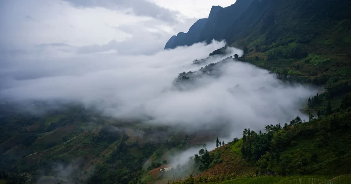 Ha Giang loop in December and January: worth the cold?5 min read
 Ha Giang loop weather in autumn: rain, cold snaps, storms5 min read
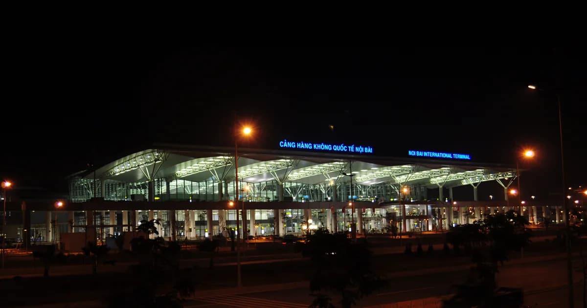 Closest airport to Ha Giang: fly into Hanoi, then the bus5 min read
 Where fog days matter in Vietnam: Sa Pa, Ha Giang, Ha Long5 min read
 Vietnam weather in December: cool north, dry south5 min read
 Vietnam weather in November: dry places and wet places5 min read
Getting to nearby places
The three nearest places, as the crow flies.
- Sa Pa
- Straight line:
- 129 km (80 mi)80 mi (129 km)
- By road:
- 232 km (144 mi)144 mi (232 km), about 2 h 48 min by car
- Hanoi
- Straight line:
- 218 km (135 mi)135 mi (218 km)
- By road:
- 286 km (178 mi)178 mi (286 km), about 3 h 33 min by car
- Ninh Binh
- Straight line:
- 304 km (189 mi)189 mi (304 km)
- By road:
- 376 km (234 mi)234 mi (376 km), about 4 h 39 min by car
Straight lines are measured between the map pins. Road distances and drive times: OpenStreetMap routed with OSRM, October 2026.
Flights: no fares shown
Fares are on each airline's own site.
Motorbike: same roads as the car, valid licence needed
Details on getting around.
Questions travelers ask about Ha Giang Loop
How cold does the Ha Giang loop get? Colder than the city figures in the opening. The Hà Giang station sits at 118 m, while the geopark the loop crosses lies at an average of 1,000 to 1,600 m, according to Vietnam's nature conservation agency, and the national climate tables have no station in its four districts. The nearest stations at that sort of height are in Lào Cai province: Bắc Hà at 957 m and Sa Pa at 1,570 m. From October to January their monthly means run about 4 °C (Bắc Hà) and 7 to 8 °C (Sa Pa) below the city's:
| Station | Height | Oct | Nov | Dec | Jan | Jan average low |
|---|---|---|---|---|---|---|
| Hà Giang city | 118 m | 23.9 °C | 20.3 °C | 16.9 °C | 15.6 °C | 13.3 °C |
| Bắc Hà | 957 m | 19.5 °C | 15.9 °C | 12.4 °C | 11.3 °C | 8.8 °C |
| Sa Pa | 1,570 m | 15.7 °C | 12.5 °C | 9.4 °C | 8.6 °C | 6.2 °C |
These are averages from other stations, not readings on the passes, but they're the best guide we have. Pack for the Bắc Hà and Sa Pa rows rather than the city row: from November that means a warm jacket for the high stretches, more so on the back of a bike.
Do I need a permit to ride the loop? Yes. The loop runs through border areas, and Tuyên Quang's provincial police wrote in May 2026 that foreigners entering border areas in Vietnam must apply for a permit. You can't apply on your own: a commune police notice in Lạng Sơn, another border province, says the permit goes through an inviting or sponsoring organisation or person, and that entering without one is fined 500,000 to 2,000,000 dong. Ask your tour company or homestay to arrange it; Tuyên Quang's police say they help the residents and businesses who sponsor foreign tourists, and they issued 4,458 permits to foreign tourists between 1 and 12 June 2026. We couldn't read the fee in the current immigration fee table, so we don't give one.
Can I ride the loop myself on a US licence? Plan on not riding. Vietnam's rules point to international driving permits issued under the 1968 convention, a US permit is issued under the 1949 one, and AAA, which issues it, doesn't list Vietnam among the places that honor it; our international driving permit guide goes through the evidence. Loop Trails, a rental shop in Ha Giang city, asks for the 1968 permit too, with your passport and home licence. When an American asked r/VietNam in October 2026 whether there was any legal way to ride, one reply said that "there are cops stationing in various checkpoints of Ha Giang Loop to catch law breakers. Fines are heavier now." Lonely Planet's advice for anyone without a licence is to join a guided tour and ride on the back as a passenger, or hire a car and driver.
Can I do the loop by car instead? Yes, with a hired car and driver, the third way round that Lonely Planet lists. Riders say a car can't follow the bikes everywhere, and a traveler who went by jeep didn't mind. Two replies in an October 2026 thread on r/Vietnam_Tourism, from someone weighing a jeep against a motorbike because of a bad back:
"Jeep won’t fit up half the tracks we went up."
u/Glittering_Score_321 on r/Vietnam_Tourism
"The parts the bike can’t go, we just walked through and it was nice to get out of the car. The whole thing is the same scenic photo stops and cafes that the bikes go to."
u/TheCheesePeddler on r/Vietnam_Tourism
Is it safe on the back of a bike? The UK government's advice is blunt about motorbikes in Vietnam: "Motorbike accidents are common and have killed and injured British nationals." It tells anyone who isn't an experienced rider not to hire one, and helmets are compulsory for passengers as well as drivers. Vietnam's tourism site also warns of wet, slippery roads from May to August, and the UK advice says mudslides and landslides can block roads. As a passenger you're trusting the driver, so ask the company about its drivers before you book. A solo traveler asking r/VietNam in October 2026 kept "hearing about companies going super fast/ unsafe driving and accidents happening". One reply, from a rider in a group of eight:
"The drivers are skilled and drive really safely - they deserve a big tip in the end."
u/Warm-Emu-5197 on r/VietNam
Will I miss out if I skip the loop? Some travelers say no. From a September 2026 thread on r/VietNam:
"I didn't do it during my first visit and won't bother during my next either. There's so many other beautiful places that aren't over saturated with tourists to visit."
u/Katrianadusk on r/VietNam
Is it too tiring on the back of a bike? A rider who had just finished a four-day tour in October 2026:
"We were never driving for more than an hour, and most stops were 30-40 minutes apart."
u/Mo_Mood on r/VietNam
Am I too old for the loop? Not by the replies a solo Canadian over 60 got on r/VietNam in August 2026:
"I’m 64 just did it and would do it again so no worries"
u/shinyturdbiskit on r/VietNam
"Age doesn't matter, physical and overall health do."
u/3arthpig on r/VietNam
A group of three, the youngest of them 60, going back for their second loop in October 2026, told a younger asker to "take the four-day package so the total driving time is short and there are a lot of breaks," u/EventLong909 wrote on r/Vietnam_Tourism.
How do I avoid the crowds? Ask for a small or private group. One couple in their mid-40s did, with a smaller company that fitted the stops to what they wanted to see, so they "would either arrive very early, or after everyone was gone," u/MostlyInfuriated wrote on r/VietNam.
How do I get back to Hanoi after the loop? By bus from Ha Giang city, where the last leg of a four-day loop, from Du Già, ends. Bang Phan's buses leave Ha Giang for Hanoi at 07:00, 09:00, 11:30, 13:30, 14:00, 15:30, 17:30, 19:30, 21:00 and 22:00 and pick you up free at hotels in the city; the company times the same road at about six to seven hours going up. It asks you to book five to seven days ahead in the busy season, with a 50% deposit. Tickets aren't refunded, but you can move yours to another day if you tell it three to five hours before the bus leaves. Buses on to Sa Pa and Cao Bang are under Getting there above.
What is the Đồng Văn geopark? The Đồng Văn Karst Plateau was recognised as a UNESCO Global Geopark in 2010 and covers four districts: Quản Bạ, Yên Minh, Đồng Văn and Mèo Vạc. Vietnam News Agency filmed it in October 2025:

Sources
Checked between October and November 2026.Show all 37 sourcesHide sources
- QCVN 02:2022/BXD, National technical regulation on natural physical and climatic data for construction. Ministry of Construction, Viet Nam (issued with Circular 02/2022/TT-BXD); climate data supplied by IMHEN. Station: Hà Giang. The source does not say which years.
- OurAirports. Public domain, no guarantee of accuracy. Scheduled-service airports only.
- OpenStreetMap data routed with OSRM, car profile. Estimate for a car at the speeds in the map data. Traffic, road works, weather and stops are not included.
- OpenStreetMap and Natural Earth. Main roads, railway and rivers on the Getting there map from OpenStreetMap (ODbL); land and borders from Natural Earth (public domain). Drive lengths and times on the map routed with OSRM.
- Ministry of Construction: Circular 23/2026/TT-BXD on civil aviation service prices. Issued 15 May 2026, in force from 1 July 2026; repeals Circular 44/2024/TT-BGTVT. The Civil Aviation Authority's page for Circular 44/2024 now marks it as no longer in force. Read on 28 October 2026.
- Civil Aviation Authority of Vietnam: basic economy domestic fares under Circular 23/2026/TT-BXD. From 1 July 2026 the circular sets maximum prices for scheduled domestic basic economy flights in five distance bands (under 500 km to 1,280 km and over). Read on 28 October 2026.
- Tuoi Tre News: Foreigners caught riding motorbikes without international driving permits in Vietnam's Khanh Hoa. News report dated 14 May 2026.
- vietnam.travel. Best time September to November: terraced rice golden in September, buckwheat flowers October to November; wet, slippery roads May to August.
- congan.tuyenquang.gov.vn. Tuyên Quang provincial police, 31 May 2026: foreigners entering border areas in Vietnam must apply for a permit (page behind a WAF; read in a real browser on 2026-10-15).
- en.vietnamplus.vn. Police campaign across 17 border communes, focusing on those within the Đồng Văn geopark (VNA via VietnamPlus, 5 June 2026).
- congan.tuyenquang.gov.vn. Tuyên Quang police, 22 June 2026: 4,458 border-area permits issued to foreign tourists 1 to 12 June 2026; police will help residents and businesses sponsoring foreign tourists; homestays and guesthouses must declare foreign guests' temporary residence on arrival (page behind a WAF; read in a real browser on 2026-10-15).
- quocviet.langson.gov.vn. Lạng Sơn commune police notice, 22 July 2026: permit only through an inviting or sponsoring organisation or person; unsponsored foreigners not eligible; entering without a permit fined 500,000 to 2,000,000 dong under Decree 282/2025/NĐ-CP.
- congbao.chinhphu.vn. Fee not printed: the immigration fee table is now Circular 28/2026/TT-BTC of 27 March 2026 (amended by Circular 81/2026/TT-BTC); we could not read the border-permit line in it, so no fee is given.
- asiatripfacts.com. Licence rules: internal link to our published guide /blog/international-driving-permit-vietnam (its own sources file covers the rules).
- lonelyplanet.com. Four days most common, some ride in three; route Hà Giang to Yên Minh via Heaven Gate, Yên Minh to Đồng Văn via the palace and Lũng Cú, Đồng Văn to Du Già via a Nho Quế boat and Mã Pí Lèng, Du Già back to Hà Giang (Lonely Planet, Benjamin Engelbach, updated 2 April 2026).
- en.nbca.gov.vn. Đồng Văn Karst Plateau UNESCO Global Geopark, recognised 2010, four districts Quản Bạ, Yên Minh, Đồng Văn, Mèo Vạc.
- pexels.com. Image: the Vuong family palace (Dinh vua Meo, as the photo page's address names it), Ha Giang, Lucas Tran, Pexels License (taken 2023-12-12).
- pexels.com. Image: a river in a gorge in Ha Giang, Phạm Quang Linh, Pexels License (taken 2023-11-16).
- pexels.com. Image: the Ma Pi Leng Pass, Meo Vac, Q. Hưng Phạm, Pexels License (taken 2026-05-12).
- youtube.com. Embed: “Dong Van Karst Plateau – A rare living geological museum”, Vietnam News Agency (VNA), published 2025-10-28.
- tuyenquang.gov.vn. No railway: Tuyen Quang province (which now includes Ha Giang) has no railway running through it (provincial government page, "Hệ thống giao thông").
- asiatripfacts.com. Nearest airport with scheduled flights is Hanoi's Noi Bai (internal link; our airports post, which has its own sources file, and the automatic nearest-airports block on the page).
- router.project-osrm.org. Night trains from Hanoi run to Lao Cai; Ha Giang city to Lao Cai station 200 km by road (OSRM, Ha Giang city OSM node 14109370955 to Lao Cai station OSM node 941741781).
- khodulieu.sohoa.tuyenquang.gov.vn. Tuyen Quang Department of Construction timetable for fixed bus routes, Q4 2025 (decision dated October 2025, the latest posted on the provincial site's transport page on 2026-10-18): Ha Giang southern bus station to My Dinh; departures from My Dinh between 05:00 (alternate days; 05:30 daily) and 22:15; 37 or more daily slots from My Dinh across routes A (15), B (18), C (1), D (1) and E (4); route length 320 km (A), 294 km (B), 290 km (E).
- tuyenquang.gov.vn. The timetable is the Q4 2025 one, announced by the Department of Construction (the spreadsheet above is attached to this notice).
- xebangphan.vn. Bang Phan (Vi Xuyen transport cooperative, Ha Giang), Hanoi to Ha Giang, page dated 13 June 2026: about 6 to 7 hours; departs Hanoi 07:00, 09:30, 11:30, 12:30, 13:30, 16:00, 19:30, 21:00, 23:00 (the page separates the times with vertical bars, replaced here by spaces); pickups 156 Tran Quang Khai (Hoan Kiem), 795 Giai Phong, Gia Lam and My Dinh bus stations, Noi Bai airport; drop-offs Ha Giang bus station, 100 Tran Phu office, hotels in the city; fares: 13-seat limousine VND 300,000, 40-bed sleeper VND 250,000, 34 single cabins VND 300,000, 24-cabin bus VND 350,000 to 550,000.
- xebangphan.vn. Bang Phan routes page: Hanoi to Ha Giang from VND 350,000, 6 hours, 300 km; free pickup in Hanoi's Old Quarter; free drop-off anywhere in Ha Giang city; Sa Pa to Ha Giang from VND 350,000, 24-cabin bus, 6 h 30 min, 240 km, Sa Pa office 599 Dien Bien Phu.
- xebangphan.vn. Bang Phan Noi Bai page: pickup in the domestic and international terminals; latest airport pickup 23:30.
- xehaiphu.vn. Hai Phu (Minh Tu HG Co., Ha Giang) fares: 40-bed sleeper VND 250,000 from its My Dinh office or Noi Bai crossroads; VND 350,000 from My Dinh bus station; double cabin VND 550,000 from Noi Bai crossroads (operator's own site).
- xebangphan.vn. Bang Phan Ha Giang to Dong Van bus, page dated 25 June 2026: VND 150,000; leaves Ha Giang 05:00, in Dong Van about 08:30 to 09:00; leaves Dong Van 13:15; written around Saturday-night trips, no days of operation given.
- looptrails.com. Loop Trails, 48 Nguyen Du, Ha Giang city: Honda Wave 110cc VND 180,000/day, Yamaha PG1 VND 300,000, Winner X 150cc VND 350,000, CRF 150 dirt bike VND 500,000; helmets and basic tools included; requires original passport, 1968-convention IDP and home licence (rental company's own page).
- hagiangmotorbikerental.com. Ha Giang Motorbike Rental: Honda Blade 110cc VND 250,000/day; Honda Winner 150cc VND 450,000/day (rental company's own page).
- router.project-osrm.org. Drive times on the map, OpenStreetMap routed with OSRM via scripts/access-maps.mjs (data/access-maps/ha-giang.json, built 2026-10-18): southern bus station to city 3 km, 5 min; city to Bac Sum Pass 28 km, 20 min; city to Quan Ba Heaven Gate 46 km, 35 min (city OSM node 14109370955; bus station OSM way 853242791, “Bến xe Thành phố Hà Giang”, on Nguyen Trai street, the QL2 exit the timetable names for the southern station; Bac Sum Pass viewpoint OSM node 5516818522; Heaven Gate viewpoint OSM node 5388531822).
- xequanggiang.com. Quang Giang, Sa Pa to Ha Giang: seated bus 08:00, 14:00, 16:00 from 599 Dien Bien Phu, VND 300,000; cabin bus 20:00 with pick-up, VND 350,000; no journey time given (operator's own site).
- pexels.com. Image: motorcyclist on the Mã Pí Lèng Pass road, Hà Giang, TUAN PHAN, Pexels License (published 28 October 2025; no capture date in the file).
- ourairports.com. Getting there, airports: Noi Bai (HAN) is the nearest airport in Vietnam with scheduled flights, 197 km in a straight line from the Ha Giang pin; Wenshan Puzhehei (WNH) in Yunnan, China, is closer, 106 km; the airport guide calls Wenshan an option only for someone already travelling in Yunnan (closest-airport-to-ha-giang.sources.md rows 1 to 5, OurAirports airports.csv and our haversine arithmetic; the guide's own text for the Yunnan wording). Checked November 2026.
- gov.uk. UK FCDO advice (safety answer): motorbike accidents common, killed and injured British nationals; do not hire if not experienced; helmets compulsory for drivers and passengers; mudslides and landslides can block roads (also in data/vietnam-safety.json, quotes read 2026-10-30; Open Government Licence v3.0). Checked November 2026.
Rolling cloud ornament: Li Jie, Yingzao Fashi (Song dynasty woodblock), Public domain, one cloud panel cropped and its label removed