Mountains and highlands in Vietnam
The facts

Image: MinhVN1863 / Wikimedia Commons, CC BY-SA 4.0 Sa Pa
Fansipan is nicknamed the Roof of Indochina, and it has grown on paper: it was measured at 3,143 m in 1909, and today's figure is 3,147 m.
The peak rises 9 km southwest of Sa Pa in the Hoang Lien Son range. Its name may come from Phan Van Son, a Nguyen official who helped the French map the area and the border with China in 1905, with local pronunciation turning it into Phan Xi Pang. The adjusted height is 3,147.3 m.
Source: Wikipedia, Fansipan. Checked October 2026.
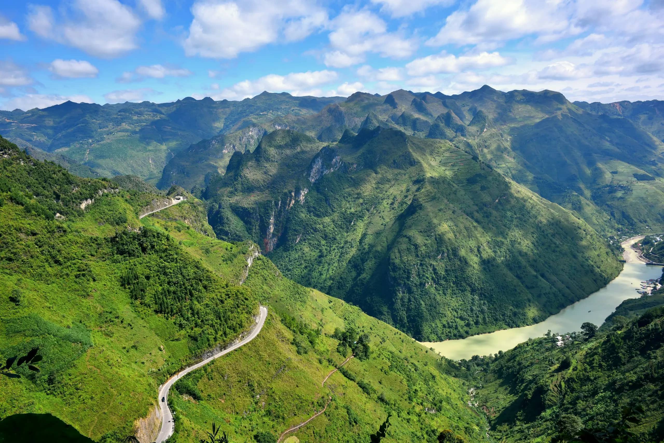
Image: Ama Journey / Unsplash Ha Giang Loop
Before the Happiness Road, people crossed the Ma Pi Leng cliffs by hanging on ropes; more than 1,300 young volunteers then cut the road, mostly by hand.
Work began on 10 September 1959 and ended on 15 June 1965, linking Ha Giang with Dong Van and Meo Vac. The Ma Pi Leng stretch runs for about 20 km at 1,200 to 1,400 m above sea level, with views down to the Nho Que River, and the road is now part of the motorbike route known as the Ha Giang Loop.
Source: Viet Nam News, Happiness Road leads to spectacular pass, Wikipedia, Ha Giang Loop, UNESCO, Dong Van Karst Plateau UNESCO Global Geopark. Checked October 2026.
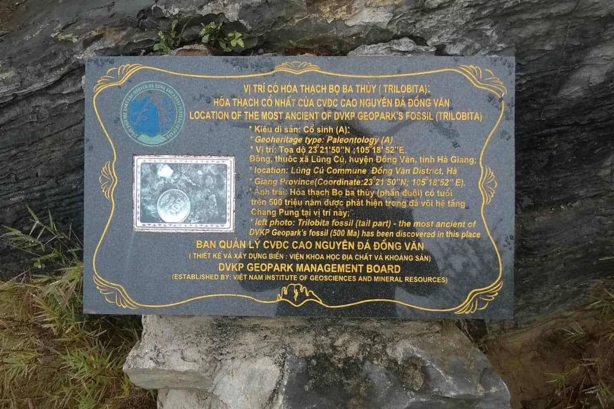
Image: Vuong Tri Binh / Wikimedia Commons, CC BY-SA 4.0 Ha Giang Loop
The rocks of the Dong Van plateau record more than 550 million years of Earth's history, with fossils of trilobites, ancient fish and corals.
About 60% of the geopark is limestone. Its layers include traces of two mass extinctions, the Frasnian-Famennian about 360 million years ago and the Permian-Triassic about 250 million years ago. Fossil finds also include brachiopods, crinoids and plants, and the plateau has been a UNESCO Global Geopark since 2010.
Source: UNESCO, Dong Van Karst Plateau UNESCO Global Geopark, Wikipedia, Dong Van Karst Plateau Geopark. Checked October 2026.
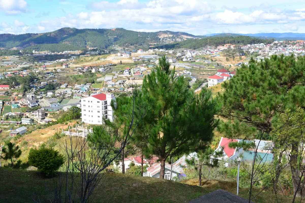
Image: Андрей Бобровский / Wikimedia Commons, CC BY 3.0 Da Lat
At about 1,500 m above sea level, Da Lat stays cool enough all year to be nicknamed the City of Eternal Spring.
Average temperatures run from 14 to 23 °C, and mist covers the surrounding valleys for much of the year, which gave the town another nickname, City in the Fog. The cool air is why Da Lat sends cabbage, cauliflower, artichoke and persimmon to the rest of the country, and why its market is known for warm clothing.
Source: Wikipedia, Da Lat. Checked October 2026.