Ha Giang loop weather in autumn: rain, cold snaps, storms
Autumn on the Ha Giang loop gets drier month by month, but colder and foggier too.
VerdictRide the loop in October: less rain than September, warmer and sunnier than November.
Ha Giang loop weather in autumn becomes drier from September to November, while the town station records more fog. These are station averages for a typical month, not a forecast, and the station is only a reference point for the route.
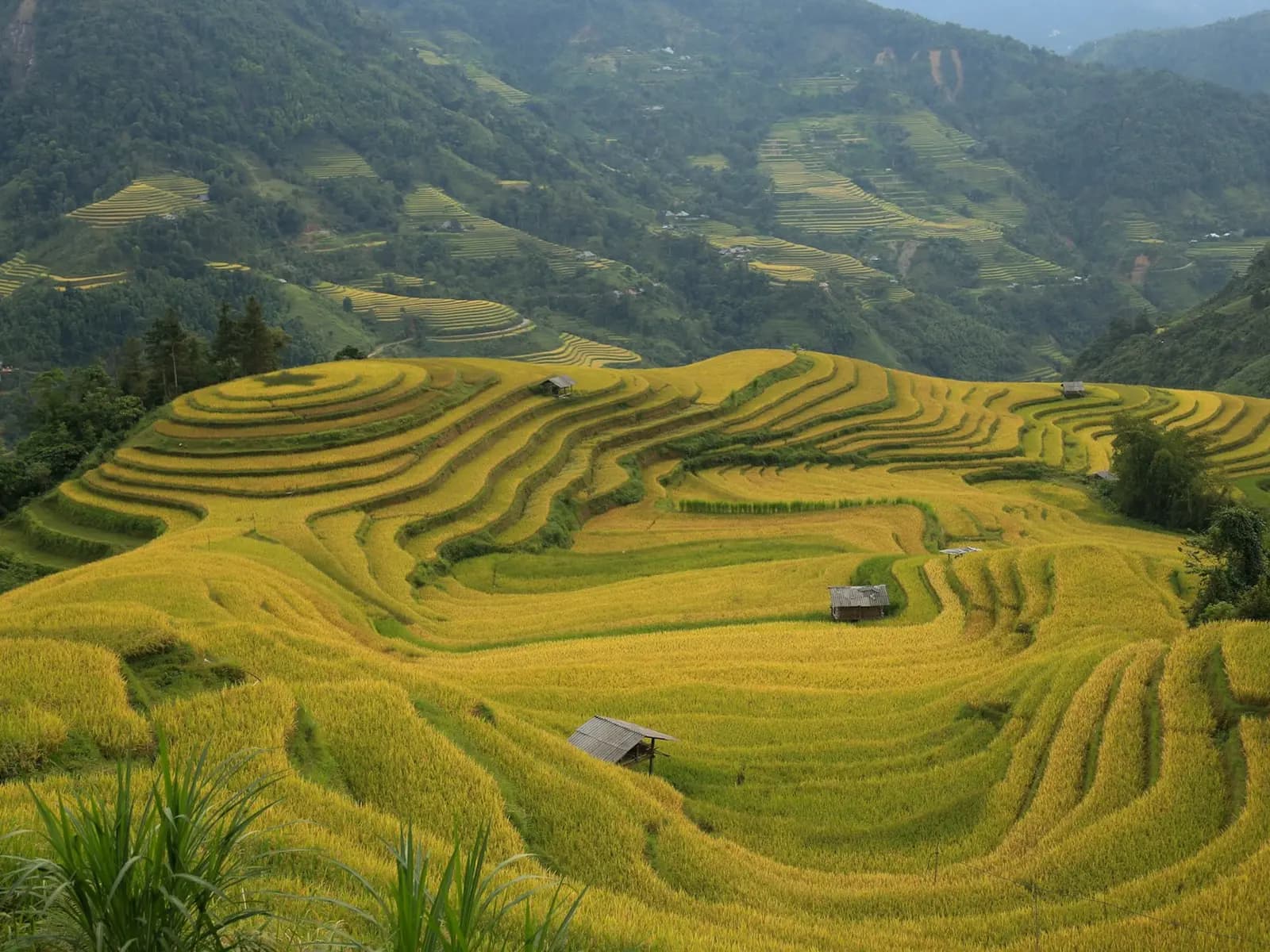
September to November in Ha Giang
The Ha Giang station's rain total falls from 240.9 mm in September to 153.6 mm in October and 84.1 mm in November. Rain days fall as well, from 15.6 to 13.5 and then 10.1.
Mean temperature moves down through the same period. September is 26.5°C, October 23.9°C, and November 20.3°C. In Fahrenheit, 26.5°C is about 80°F. The change is substantial enough to affect what a rider carries between the warmer start of autumn and the cooler end.
| Month | Mean C | Rain mm | Rain days | Fog days | Sun hours |
|---|---|---|---|---|---|
| Sep | 26.5 | 240.9 | 15.6 | 2.2 | 161.4 |
| Oct | 23.9 | 153.6 | 13.5 | 3.5 | 124.8 |
| Nov | 20.3 | 84.1 | 10.1 | 4.6 | 108.8 |
November is the driest of the three months and has the fewest rain days, but it is also the foggiest of the three, at 4.6 fog days. Less rain does not mean clearer views.
Sun hours fall with the temperature, from 161.4 in September to 124.8 in October and 108.8 in November. Drizzle days are 0 in September and October, then 0.5 in November. The route's late-autumn reading is therefore cooler, less rainy, less sunny, and foggier in the town record.
In November the station's mean minimum is 17.2°C and its mean maximum 25.3°C. In September they are 23.3°C and 31.8°C. That supports lighter packing at the start of autumn and warmer layers by its end.
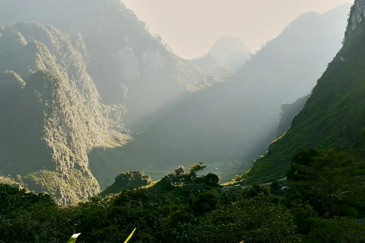
Ha Giang loop weather in autumn: storms, single-day rain and cold snaps
September is the riskier start of autumn for a motorbike trip. It has 7.1 thunderstorm days at the station, against 2.6 in October and 0.7 in November. It also holds the station's largest one-day rainfall of the whole year, 290 mm, while October's one-day record is 144 mm and November's 107.6 mm.
The cold end comes fast. The record low is 9.8°C in October and 6.5°C in November, then 2°C in December. Humidity barely changes through the season, at 84.2% in September, 84% in October and 84.1% in November, so the air stays damp even as the rain falls away.
If you push into December, fog rises again to 6.4 days, the most of any month at the station, and the mean drops to 16.9°C.
Sa Pa shows a different autumn pattern
The Sa Pa rows provide a useful contrast. September records 303.1 mm, 19.8 rain days, and 2.8 fog days. October records 201.3 mm, 18.6 rain days, and 7.8 fog days. November records 106.3 mm, 13.8 rain days, and 11.3 fog days.
Sa Pa is cooler across the three months, with means of 18.2°C, 15.7°C, and 12.5°C. Sa Pa is wetter than Ha Giang in all three months, and its fog rise is sharper. The fog-days comparison puts both patterns beside Ha Long Bay and Ninh Binh.
The Ha Giang destination page identifies the station record. We use Sa Pa only as a climate contrast, not as a substitute for a reading of the loop. For Sa Pa itself, the Sa Pa in winter guide picks up where November leaves off.
For a wider seasonal comparison, Vietnam's when-to-go guide places this autumn pattern beside other regions.
What the town station misses
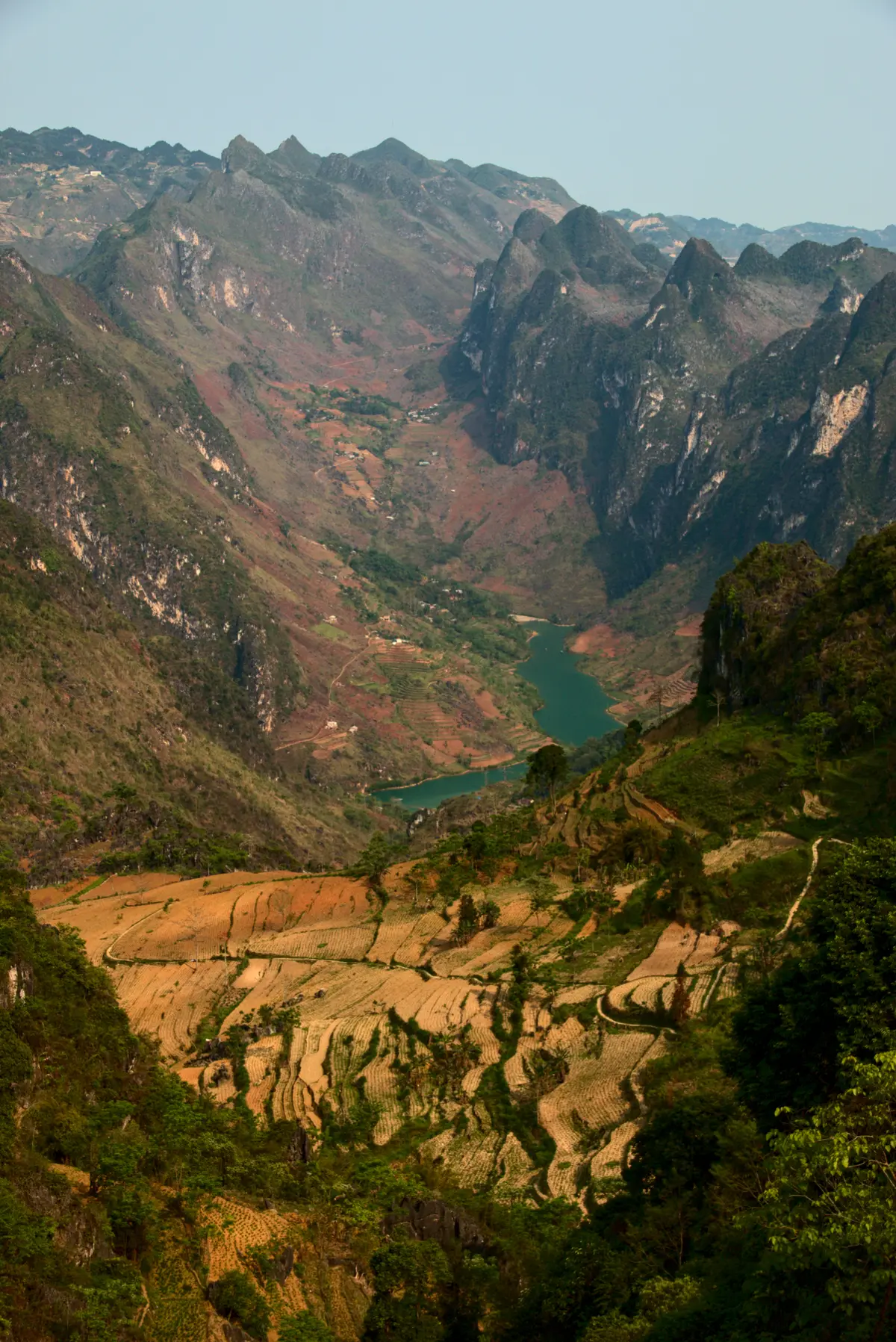
The Ha Giang station is in the town, listed at 118 m in the regulation's station table. The loop travels beyond that reference point, so the table says little about conditions on the mountain route. The climate table gives no elevation for the loop or its passes, and we do not add one.
The autumn table is still useful for a broad month choice. October sits between September's wetter row and November's cooler, foggier row. November has the lowest rain total of the three, but the highest fog value of the three. A route plan needs a current forecast in addition to those monthly patterns.
The Vietnam News Agency reported on Ha Giang's buckwheat flower festival, which has become a tourist draw for the province.

The Dong Van karst plateau
Four districts of Ha Giang province form the Dong Van Karst Plateau UNESCO Global Geopark, recognised in 2010. Vietnam's Nature and Biodiversity Conservation Agency describes it as more than 320 km from Hanoi, covering four districts: Quan Ba, Yen Minh, Dong Van and Meo Vac. The town station is not in any of those districts, which is one more reason its table says little about the plateau.

Asked whether the Ha Giang loop is worth it, one r/VietNam user who has ridden it several times replied:
"As a fellow amateur photographer I have to tell you that on two of the four occasions the weather made the trips less than memorable, both in terms of photography and in terms of motorcycle riding. Don't forget that most online resources will tell you only about the good stuff."
u/nmc52 on r/VietNam
Our take
October is the autumn month we'd pick for the loop. It has roughly a third less rain than September and far fewer thunderstorm days, and it is warmer and sunnier than November. November is the driest month of the three but cooler and foggier, so pack for cold mornings. September carries the year's largest single-day rain record, which matters more on a mountain road than the monthly total. If you are flying in, the closest airport to Ha Giang guide has the Noi Bai buses.
How we checked this
The town figures come from 13 tables of QCVN 02:2022/BXD for the Ha Giang and Sa Pa stations, and the geopark details from the Nature and Biodiversity Conservation Agency's page. We matched each value against these sources on 8 October 2026, when we also removed a straight-line distance we had computed ourselves, and checked them again on 24 October 2026. Last reviewed: 24 October 2026.
What this does not tell you
The table does not measure road surface, visibility on a pass, wind, or conditions at a viewpoint. It represents the town station, not every part of the loop. The regulation does not state the observation period of these tables.
References
- QCVN 02:2022/BXD, National technical regulation on natural physical and climatic data for construction: https://datafiles.chinhphu.vn/cpp/files/vbpq/2022/10/02-bxd.pdf. Checked 2026-10-24.
- Vietnam Nature and Biodiversity Conservation Agency, Dong Van Karst Plateau UNESCO Global Geopark: https://en.nbca.gov.vn/cong-vien-dia-chat-toan-cau-unesco-cao-nguyen-da-dong-van/. Checked 2026-10-24.
Photo (cover): Minh Triet / Unsplash
Data checked: October 2026.
About the author

Pen name for the weather and climate beat: rain, temperature, typhoons and when to go. Every comparison is built from official station records.
Keep reading

Ha Long Bay weather in winter: temperatures and fog months
Guides · 5 min
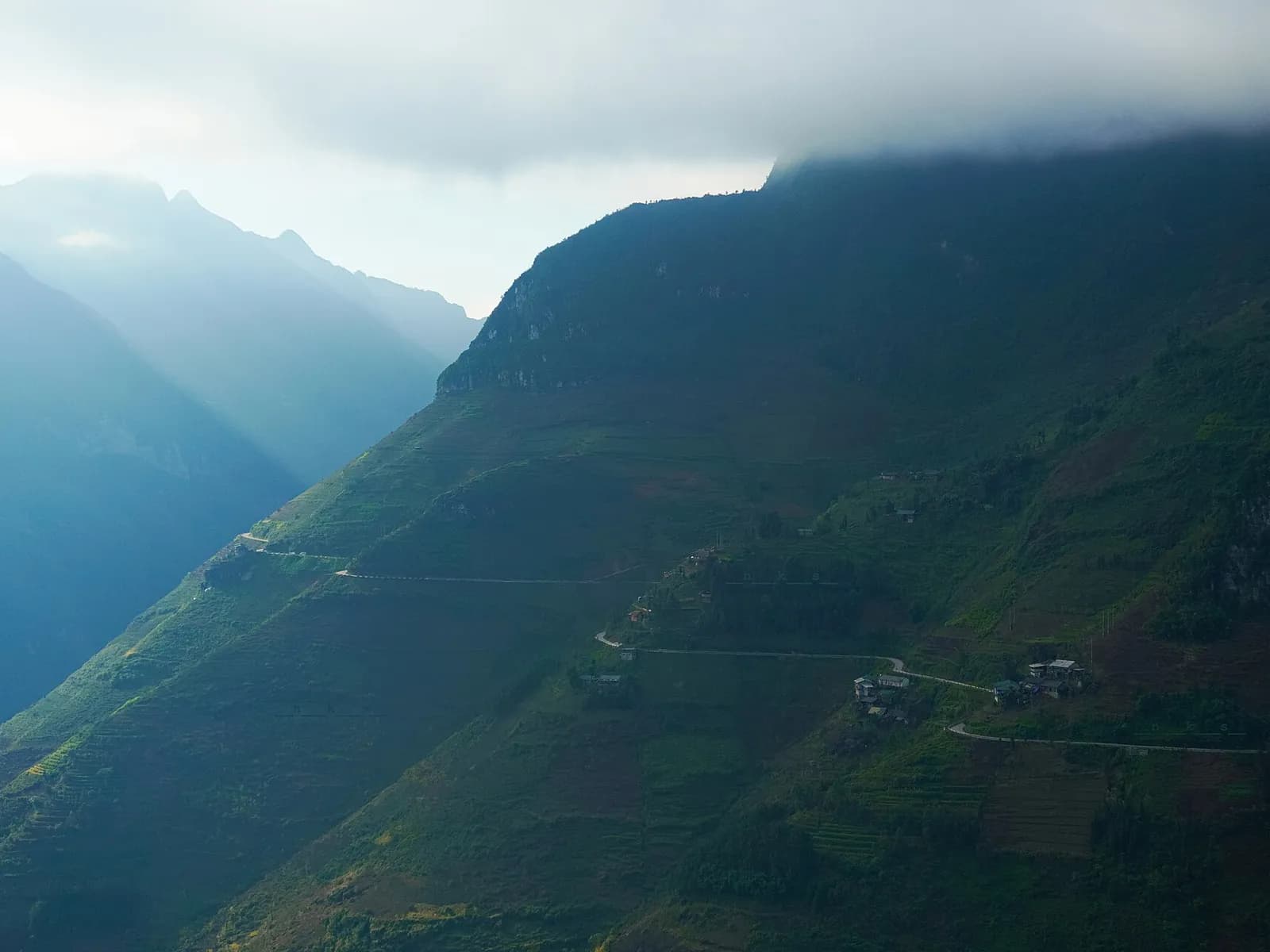
Where fog days matter in Vietnam: Sa Pa, Ha Giang, Ha Long
Guides · 5 min

North vs south Vietnam weather: Hanoi and the Mekong Delta
Guides · 5 min

The coldest places in Vietnam, and when nights turn cold
Guides · 5 min

Vietnam rainy season: the wettest month in each place
Guides · 5 min
Phong Nha rainy season: October rain, floods and the caves
Guides · 5 min
Hoi An weather by month: the dry half and the wet autumn
Guides · 5 min

Vietnam weather in November: dry places and wet places
Guides · 5 min
Disclaimer
This article is general information, not legal, immigration, medical or financial advice. Prices, visa rules and transport schedules change, and each figure shows the month we last verified it. Confirm anything that affects your trip (entry requirements, fees, health rules) with the official government or provider source before you book or travel. The site has no affiliate links today; our affiliate disclosure explains what we will do if that changes.