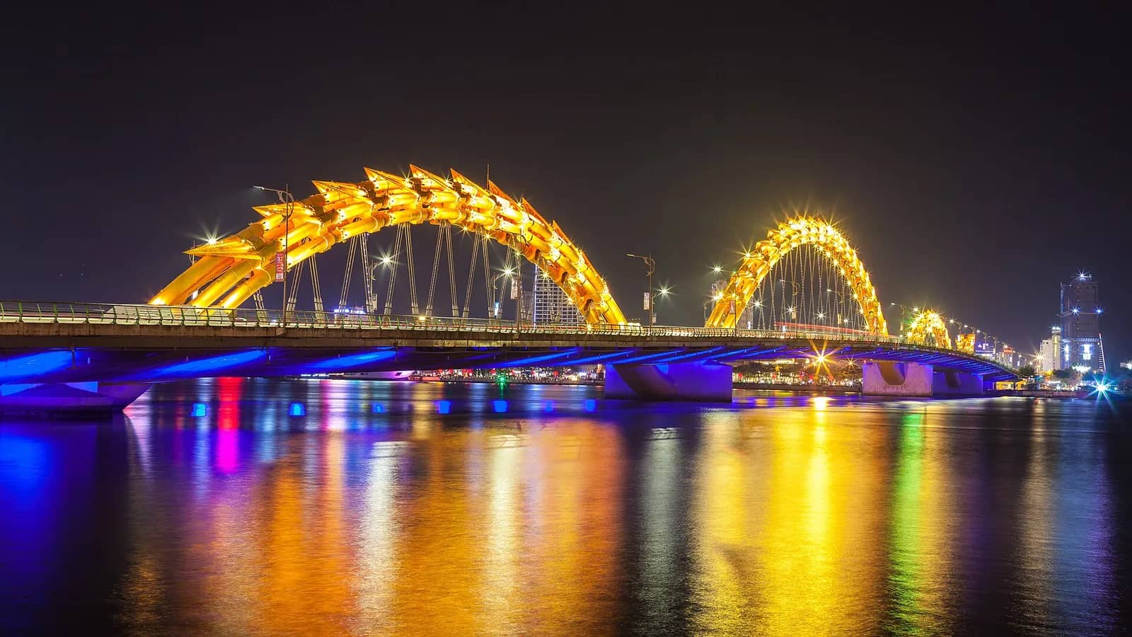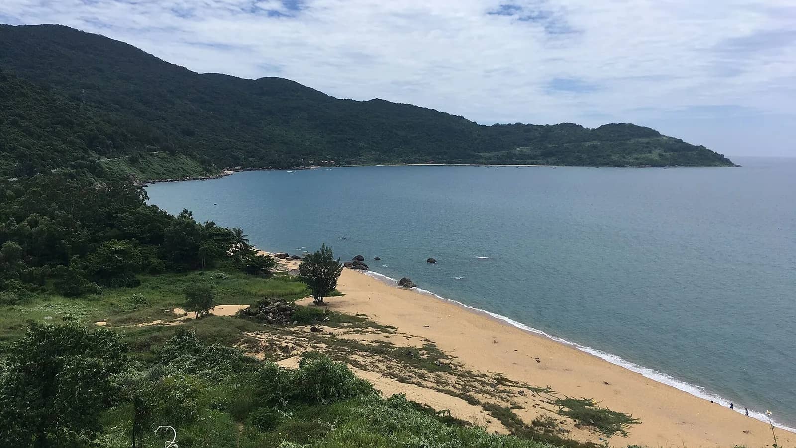
Son Tra is open to visitors again. The board that runs the peninsula paused all visits on 8 October 2026 because heavy rain brought a risk of landslides and flash floods, then said on 14 October that the roads up were open to visitors again now that the weather had settled. The rainy season runs to February and the board can pause visits again with no warning, so check before you go. If it's shut, My Khe Beach, Han Market, the Dragon Bridge and the Museum of Cham Sculpture are all down in the city and unaffected.
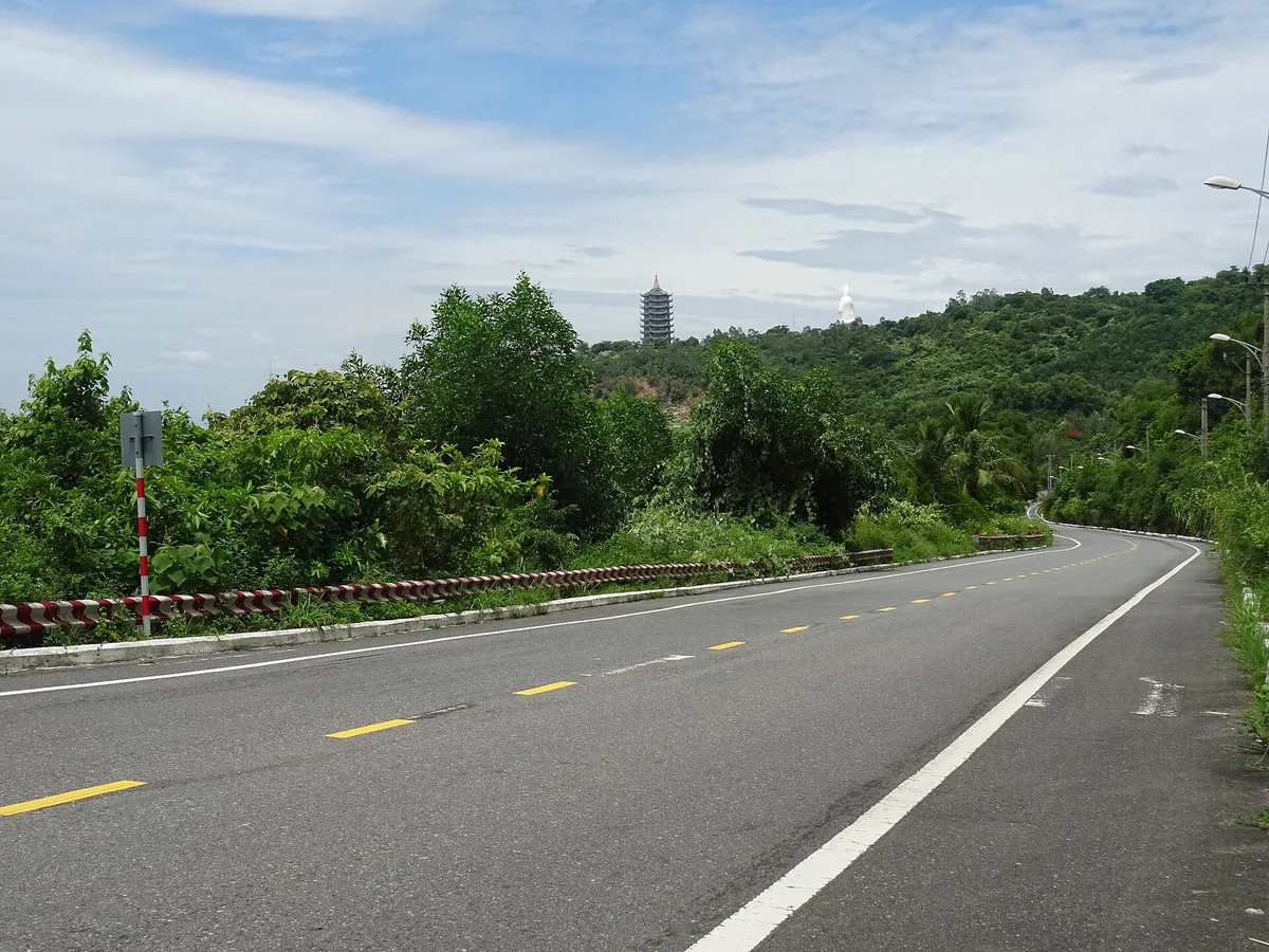
Rainy-season closures
The October 2026 pause. The Son Tra Peninsula and Da Nang Beaches Management Board paused visits from 8 October 2026 "until a new notice", and VnExpress reported that evening that no reopening date had been set. On 14 October the board told Bao Da Nang, the city's newspaper, that visitors were welcome back, and asked them to stay on the permitted routes, keep out of restricted areas and not feed the wildlife. We searched again on 16, 19, 21, 23 and 26 October and found no new pause.
How to check before you go. Look for a notice from the board. Both the pause and the reopening reached the public through the press, Bao Da Nang above all; the board's own website had posted neither when we looked on 16, 19, 23 and 26 October. On a wet morning, search Bao Da Nang for "Sơn Trà" before you set off.
Why this happens every autumn. Da Nang's rainy season runs from October to February, and visits can be paused whenever there's a dangerous weather warning. It did exactly that in 2025: visits stopped from 14:00 on 22 October 2025, rain later brought rock and earth down onto several roads, and on 4 November 2025, ahead of Typhoon Kalmaegi, every road on the peninsula was closed to traffic as well as to visitors.
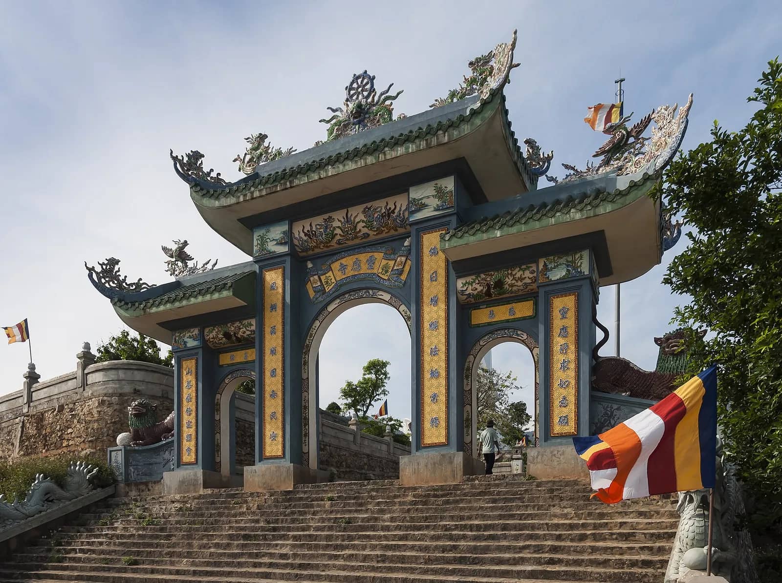
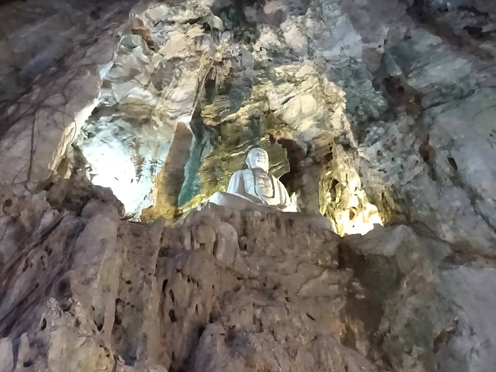
Linh Ung Pagoda. The October notices named no exception for Linh Ung Pagoda, which sits on the peninsula, so whenever Son Tra is paused we'd treat the pagoda as off too.
If the weather turns while you're up there. The board's advice on reopening: find somewhere safe and head back down rather than pushing on to farther stops, slow down and use lights when visibility drops, don't stop under big trees or below cliffs and cut slopes, and don't try to cross a road that is flooded or blocked by fallen trees or rock.
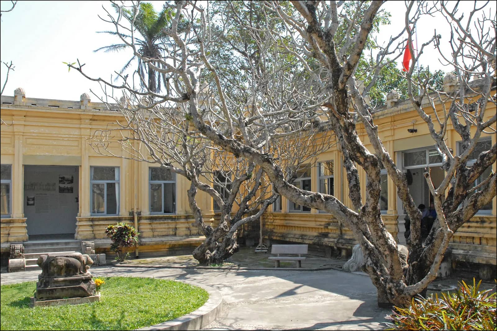
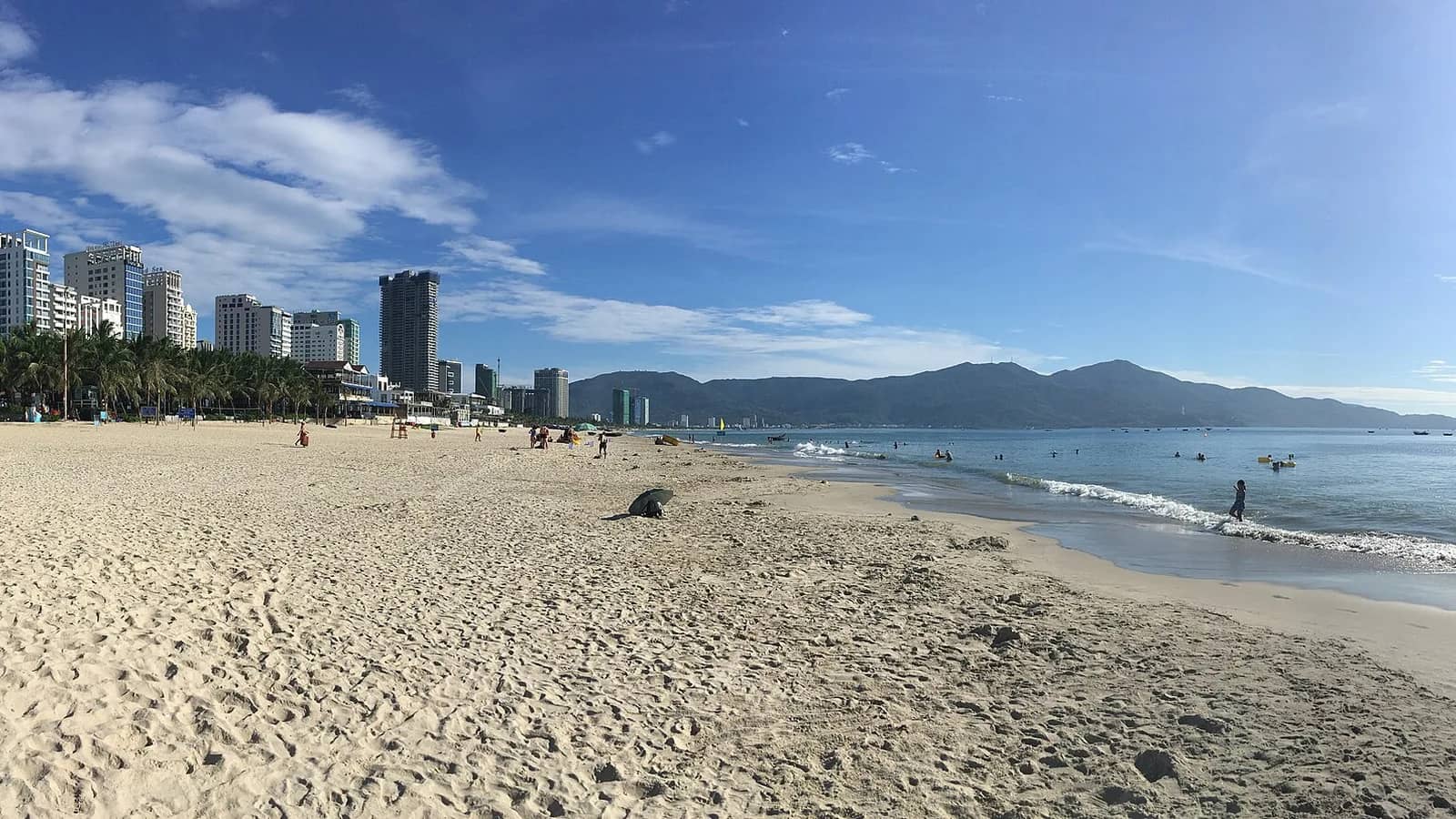
If it's shut. Stand on My Khe Beach and look north: the 67 m Lady Buddha is plain to see on the hillside. On a rainy day the Museum of Cham Sculpture and the food court at Han Market, about 1 km apart, fill a morning under cover.
What to look for
Ban Co Peak. The "chessboard" summit, with a stone Chinese chessboard and a seated statue of an immortal. You leave the vehicle and climb a steep flight of steps. The board's page gives 630 m; the city portal calls it a 700 m viewpoint. Either way, on a clear day you can see over the city to the Marble Mountains.
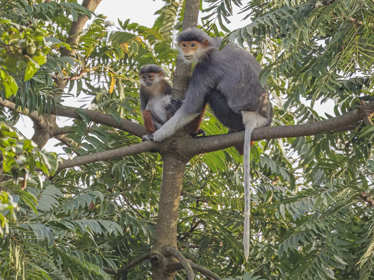
Red-shanked douc langurs. Surveys have counted nearly 300 of these rare monkeys on Son Tra. Don't feed them; it's against the rules.
The Heritage Banyan. Over 800 years old and 22 m tall, recognised as a heritage tree in 2014. The last stretch from the Bai Bac junction is on foot only.
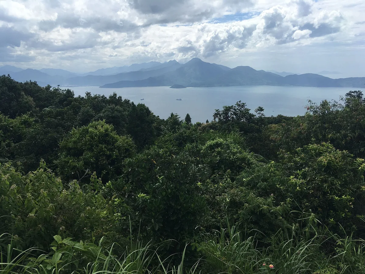
The size of it. The peninsula covers 4,390 hectares about 10 km northeast of the city centre, and its highest point is 696 m. The best time to visit is the dry season, roughly March to September.
Hours and routes
These are the rules as published in August 2026. Visits run 07:30 to 18:30 from March to September and 07:30 to 17:30 from October to February.
| Route | Who can use it |
|---|---|
| Yet Kieu to Ban Co Peak to Bai Bac | One way only. No bicycles, no scooters (automatic motorbikes), no coaches over 24 seats |
| Bai Bac junction to the Heritage Banyan | On foot only |
| Tien Sa to Suoi Om to Ban Co Peak | Bicycles, manual motorbikes and walkers; paused for storm repairs as of August 2026 |
Self-guided trekking is banned at Mui Nghe, Bai Da Den and Huc Lo. On 8 August 2026 waves swept away a group of young people taking photos at Mui Nghe, and five days later two were still missing.
An October afternoon worked out. From the Dragon Bridge to Ban Co Peak is 17.0 km, about 30 minutes by road. With a 17:30 close, leaving the city by 16:00 gives you about an hour on top before you need to start down.
Getting there
If your rental is a scooter, it can't use the main Ban Co route; a manual bike or a car is the way up. From My Khe Beach to Ban Co Peak is 14.8 km and about 30 minutes by road. Riding yourself needs a licence that's valid in Vietnam; see our international driving permit guide.
Nearby
- Linh Ung Pagoda, Son Tra: about 2.2 km from Ban Co Peak in a straight line, also on the peninsula.
- My Khe Beach: about 5.5 km in a straight line.
- Dragon Bridge: about 8 km in a straight line.
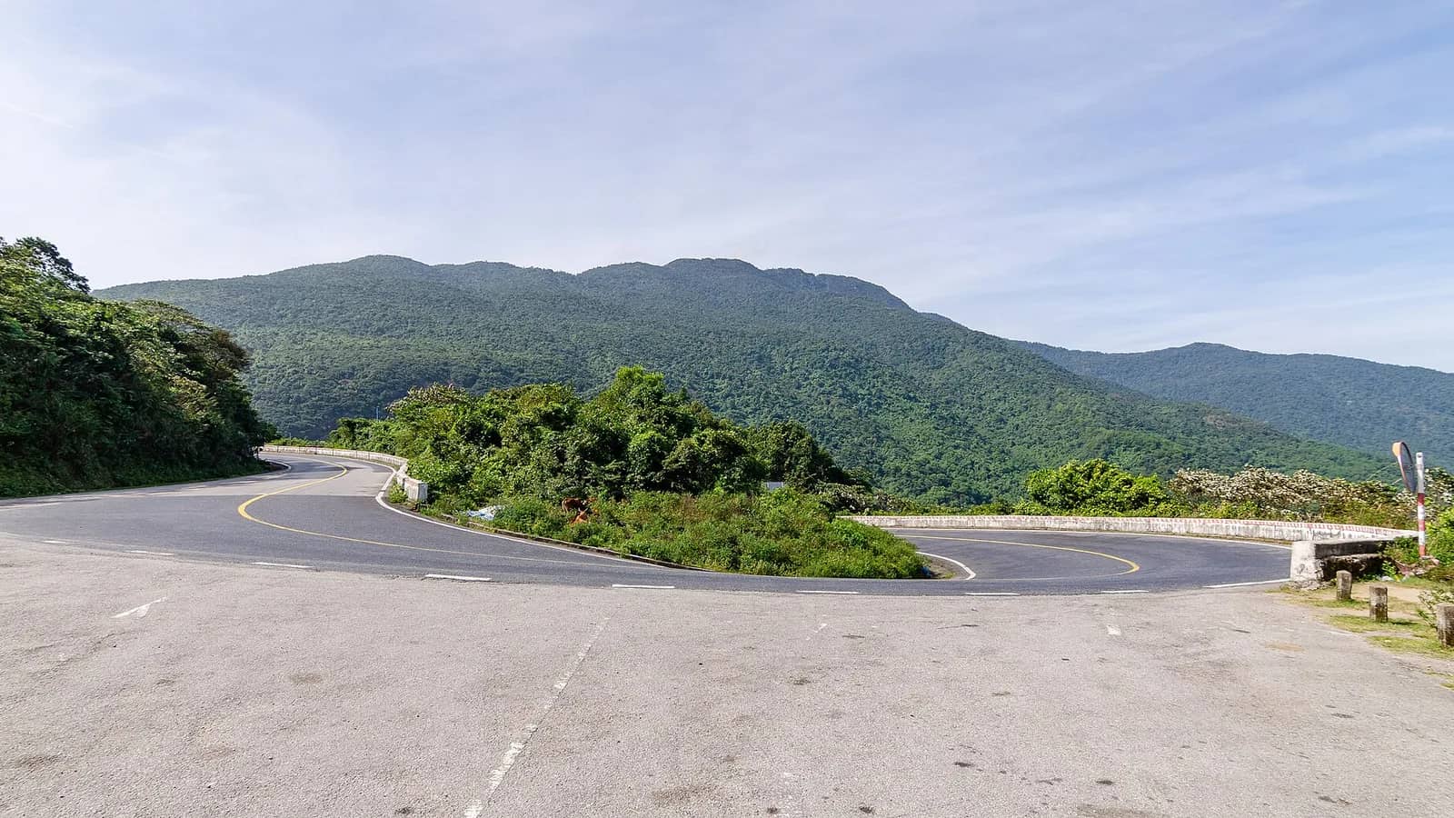
- Hai Van Pass: about 17 km across the bay in a straight line.
Questions travelers ask
Is it worth walking up? Two replies in a March 2026 thread on r/DaNang pull in different directions:
"Monkeys are no problem, stay clear from them, don't offer them food, don't agitate them."
u/Vallu1000 on r/DaNang
"I did it once and it was the most boring hike I ever did because it's just a long paved road with a few decent views."
u/NodeJS4Lyfe on r/DaNang
Another walker in a separate thread found the stretch down to the north beaches "tons of butterflies, birds and langurs" (u/Middle_Trip5880). We'd walk downhill, not up: get a ride to the top on a clear day and walk the paved road down.
Our take
Go, but watch the weather: the board kept the peninsula shut from 8 October until 14 October, and the rainy season has months to run. We'd go on a dry morning soon after 07:30, take the one-way road up to Ban Co Peak, and keep the walking for the Heritage Banyan stretch rather than the coves where people have been swept away. Pair it with Linh Ung Pagoda, 2.2 km from the peak.
How we checked this: the October 2026 pause from the board's notice as published by Bao Da Nang and reported by VnExpress and Tien Phong (all 8 October 2026); the reopening and the board's safety advice from Bao Da Nang and Dai Doan Ket (both 14 October 2026), with fresh searches on 16, 19, 21, 23 and 26 October for any new pause; the 2025 closures from Bao The Thao va Van Hoa and Bao Cong ly (4 November 2025); routes, hours and the feeding rule from Tuoi Tre (17 August 2026); the trekking ban and the August accident from Tien Phong (13 August 2026); Ban Co, the banyan, the langurs and the peninsula's size from the city tourism portal and the board's own pages. Drive times are our OSRM routing and straight-line distances our calculation from OpenStreetMap and Wikidata coordinates. Checked 16 October 2026; quotes, drive times, distances and closure status rechecked 23 October 2026; closure status rechecked again 26 October 2026.
Correction, 16 October 2026: from 14 to 16 October this page still said the peninsula was closed. The board had reopened it on 14 October.